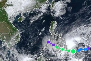
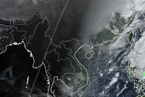
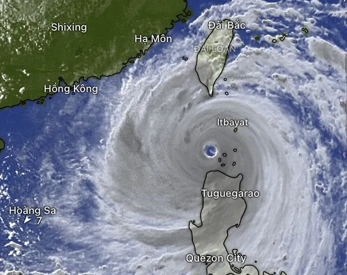
Mr. Mai Van Khiem, Director of the National Center for Hydro-Meteorological Forecasting indicated that on the afternoon of September 22, super typhoon Ragasa was located at 19.5 degrees North latitude and 121.1 degrees East longitude, about 120 kilometers north of Luzon Island, the Philippines.
Super typhoon Ragasa reaches maximum sustained winds of 202–221 kilometers per hour, equivalent to category 17 on the wind scale, with gusts exceeding category 17. The system is moving west-northwest at 20–25 kilometers per hour.
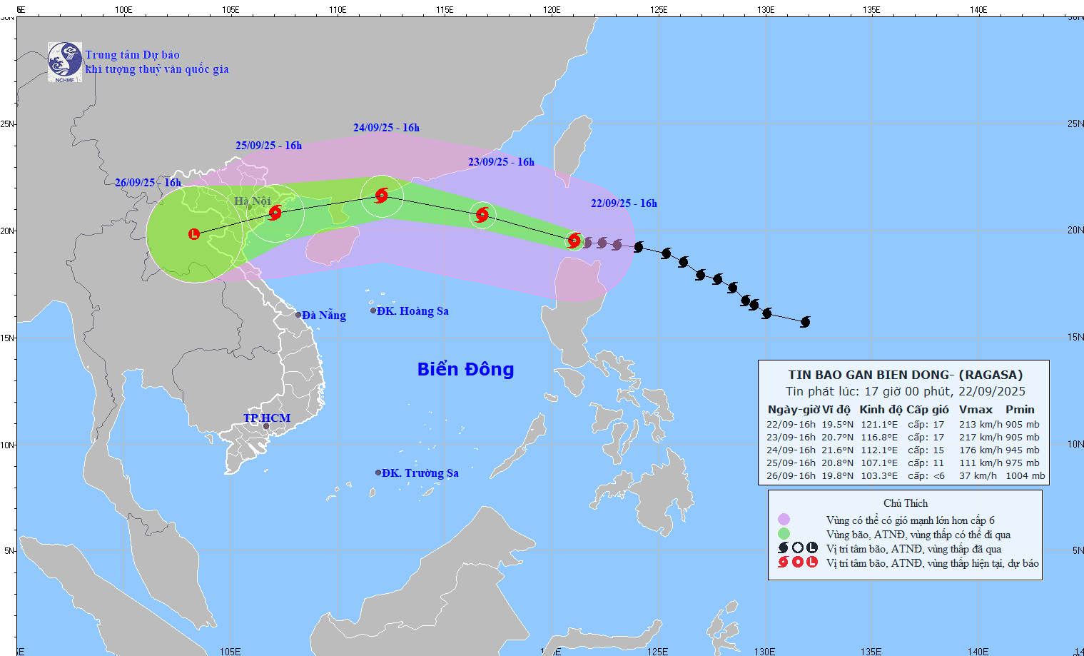
The National Center for Hydro-Meteorological Forecasting forecasts that the typhoon will enter the East Sea on September 23, persisting at category 17 intensity with gusts above category 17.
The danger zone is defined as north of 18 degrees latitude and east of 115 degrees longitude. The entire northeastern area of the northern East Sea is at level 4 disaster risk.
By the afternoon of September 24, the storm’s center is expected to be about 170 kilometers east of Leizhou Peninsula, China, with its intensity decreasing to category 14–15. The northern East Sea remains at level 4 disaster risk.
The National Center for Hydro-Meteorological Forecasting predicts that by September 25, the typhoon will move west-southwest at 20–25 kilometers per hour, entering the waters from Quang Ninh to Ninh Binh. Its intensity will decrease to category 10–11, with gusts reaching category 13.
The Gulf of Tonkin and the northwestern waters of the northern East Sea will remain at level 4 disaster risk.
The Vietnamese meteorological agency warns that from September 23, the northern East Sea will see force 8–9 winds (equivalent to 62-88 kilometers per hour), then rise to force 10–14 (equivalent to 89-166 kilometers per hour), with winds near the storm center reaching force 15–17 (equivalent to 167-220 kilometers per hour), gusting above 17 (above 202–221 kilometers per hour). Waves will exceed 10 meters, with extremely rough seas.
From September 24, winds in the Gulf of Tonkin will rise to force 6–7 (equivalent to 39-61 kilometers per hour), then increase to force 8–10 (equivalent to 62-102 kilometers per hour), with winds near the storm center reaching force 11–12 (equivalent to 103-133 kilometers per hour), gusting above force 15. Waves will reach 5 meters to 7 meters, with very rough seas.
All vessels operating in these hazardous areas are at risk from strong winds, thunderstorms, cyclones and huge waves.

