According to the National Center for Hydro-Meteorological Forecasting, on the morning of December 4, a cold front spread into the Northeastern region and parts of the northern section of the North Central Coast, bringing drizzle and light rain, and lowering temperatures by 1–3 degrees Celsius. Gale-force northeasterly winds reaching level 6 were recorded at Bach Long Vi Station. The cold air mass was forecast to advance further into the remaining areas of the North Central Coast, then into the Northwest and the northern part of the Central Coastal region throughout the day.
Across the Northern region, the weather remained cloudy and windy, with light nighttime rain and a chill in the air; daytime temperatures were expected to remain between 20 and 24 degrees Celsius.
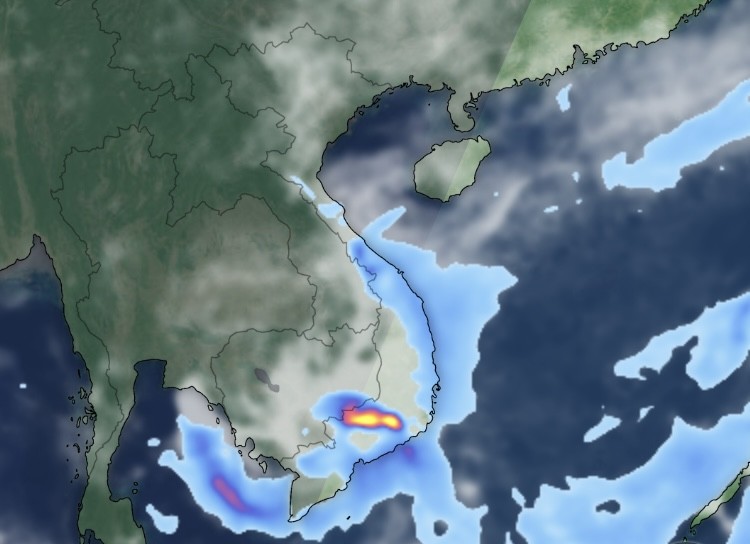
The NCHMF reported that from the night of December 3 to early December 4, moderate to heavy rain—and in some places extremely heavy rain with thunderstorms—fell across Hue, Da Nang, and eastern districts from Quang Ngai to Dak Lak, as well as Khanh Hoa and Lam Dong. Several stations registered rainfall above 150 millimeters: Ba Na (Da Nang) recorded 203 millimeters, Phan Dung (Lam Dong) 195 millimeters, and Khanh Hiep (Khanh Hoa) 189 millimeters. Parts of Da Nang saw totals exceeding 200–215 millimeters, with the rain belt extending from Hue to Lam Dong.
The NCHMF cautioned that intensified cold air interacting with the remnant circulation of weakened storm No.15, combined with upper-level easterly disturbances, would continue to produce widespread moderate to heavy rain in areas stretching from southern Quang Tri to Da Nang, and in eastern districts from Quang Ngai to Dak Lak and Khanh Hoa. From the morning through late December 4, rainfall in southern Quang Tri, Da Nang, and eastern Quang Ngai was projected at 40–90 millimeters, with local amounts surpassing 150 millimeters. Eastern areas of Gia Lai, Dak Lak, Khanh Hoa, and Lam Dong were forecast to receive 30–60 millimeters, with isolated totals above 120 millimeters. Rainfall was expected to ease from the night of December 4 onward.
More than 300 communes and wards from southern Quang Tri to Lam Dong remain at high risk of flash floods and landslides.
Elsewhere, the Central Highlands and the Southern region were forecast to have scattered showers and thunderstorms on December 4, with rainfall of 10–30 millimeters and localized amounts above 60 millimeters. From December 5, heavy rain in southern Quang Tri, Da Nang, and eastern Quang Ngai was expected to gradually subside.
In the Southern region, coinciding downpours and tidal surges could push water levels in HCMC and Vinh Long above alarm level three, increasing the risk of flooding in low-lying and riverside areas.
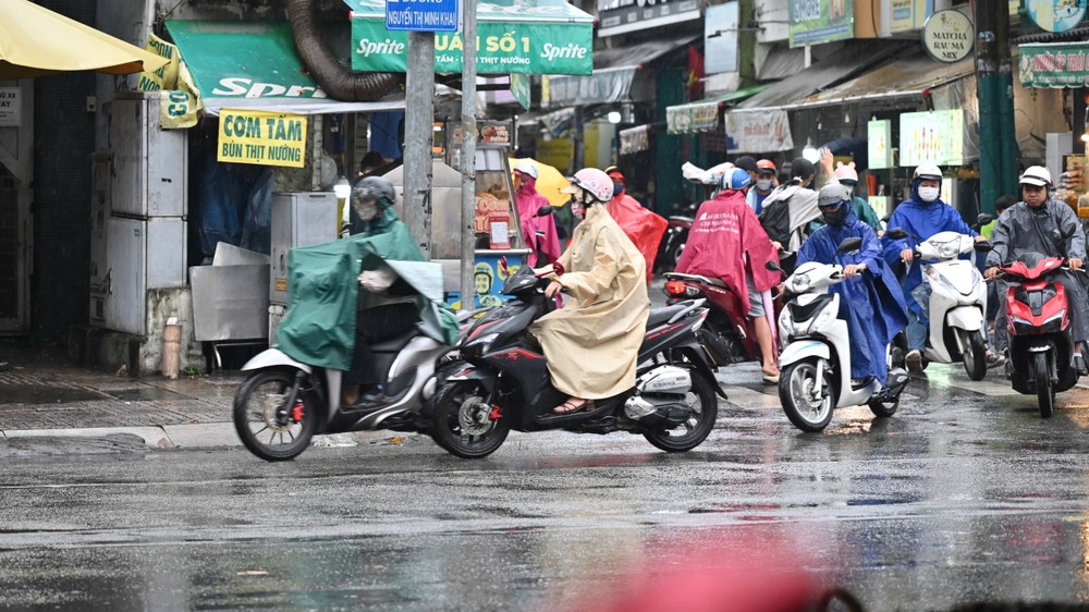
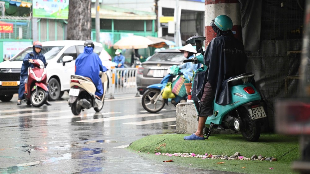
In HCMC, drizzle and cold air settled in from early December 4, with persistent gray skies causing inconvenience for commuters during the morning rush hour. Many motorbike riders donned raincoats and jackets. Traffic volumes rose on Nguyen Thi Minh Khai Street, though congestion remained minimal. Some residents sought shelter under storefront awnings before continuing their journeys, and morning food stalls and takeaway vendors saw noticeably fewer customers.

Tran Thi Hoa, a drink vendor on Vo Van Tan Street, said that by 7 a.m., she usually served a steady stream of office workers and students. “I thought the rainy season was over, so I didn’t prepare any coverings. If this rain continues, business will be bleak,” she said. Several nearby vendors also scaled back their setups to shield goods from the rain.
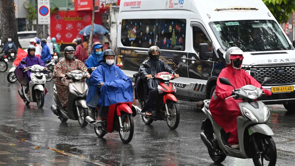
Other areas—including Ho Tram Commune and Tan Hai and Tan Phuoc wards—reported heavy rainfall causing localized street flooding.

The Southern Regional Hydro-Meteorological Center noted that from the evening of December 3, HCMC was influenced by the southwestern fringe of the weakened storm’s circulation, combined with upper-level easterly disturbances. Satellite imagery, radar data, and lightning-mapping systems showed expanding thundercloud formations over An Thoi Dong, Tam Long, Dat Do, Tan Hai, Phu My, Binh Khanh, Tan Thanh, An Phu, Tan Dong Hiep, Phu Hoa Dong, Binh My, Tan Hiep, Nhuan Duc, Phu An, Tan Uyen, Long Nguyen, and surrounding areas.

Forecasters warned that thunderstorm activity would continue to strengthen, bringing widespread showers, lightning, and the possibility of whirlwinds. Rainfall was expected at 5–20 millimeters, with some areas exceeding 25 millimeters. Residents were urged to remain vigilant for lightning, strong gusts, and the heightened risk of flooding in low-lying neighborhoods.
