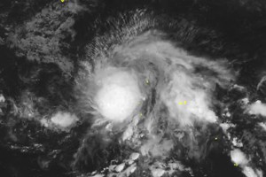
The typhoon could intensify to level 15–16 (167-201 kilometers per hour), with gusts above level 17 (202-220 kilometers per hour), posing a level 4 disaster risk in the northeastern East Sea.
Mr. Hoang Phuc Lam, Deputy Director of the National Center for Hydro-Meteorological Forecasting, stated that at this level, the tropical storm can severely damage large vessels and even uproot ancient trees.
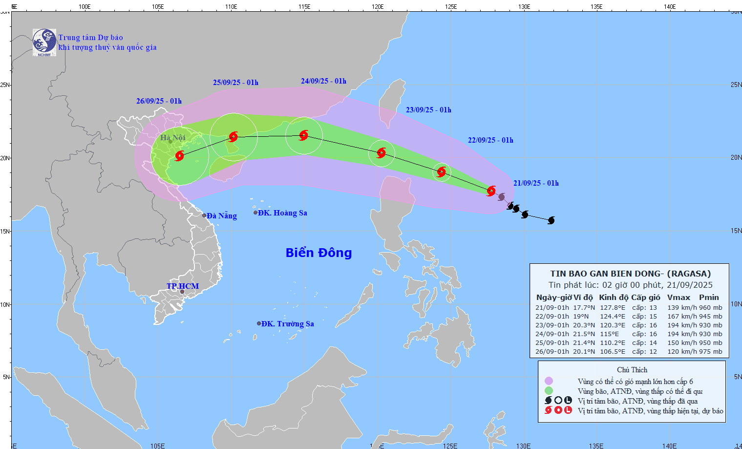
The National Center for Hydro-Meteorological Forecasting reported that as of the afternoon of September 20, the typhoon's center is located at approximately 16.7 degrees North latitude and 129.1 degrees East longitude, about 730 kilometers east of Luzon Island (the Philippines). At this time, the typhoon is at level 12 (118-133 kilometers per hour), gusting at level 15, moving west-northwest at 5-10 kilometers per hour.
By the afternoon of September 21, the typhoon’s center is forecast to be about 490 kilometers east-northeast of Luzon Island, intensifying to level 13-14 (134-166 kilometers per hour), gusting above level 17.
By September 22, the typhoon will be near northern Luzon Island, reaching level 15–16 with gusts above 17. From September 23, it will enter the northeastern East Sea with the same intensity, bringing severe disturbances.
According to the weather track model of the National Center for Hydro-Meteorological Forecasting of Vietnam, Ragasa will then move westward at about 20 kilometers per hour and weaken gradually. The typhoon will likely maintain a fast track toward Hong Kong, China.
According to the National Center for Hydro-Meteorological Forecasting, from September 20 to September 26, widespread heavy to very heavy rainfall is expected across many regions of the country.
In the North, moderate to heavy rain, with some areas experiencing very heavy rainfall, is forecast for September 22 and September 23. From September 25 to September 26, this region is likely to see widespread heavy rain and strong winds due to the direct impact of typhoon Ragasa (storm No. 9).
In Central Vietnam, from Thanh Hoa to Hue, widespread heavy rainfall is expected on September 25 and September 26 under the influence of typhoon No. 9. Meanwhile, the South Central Coast will experience evening showers and thunderstorms from September 20 to September 23.
From September 24 to September 26, daytime remains sunny, while some areas may see showers and thunderstorms in the evening and overnight.
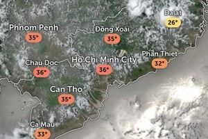
In the South and the Central Highlands, scattered showers and thunderstorms are expected frequently through September 26.
Between September 22 and September 25, multiple areas in the South will experience moderate to heavy rainfall, with some locations experiencing very heavy rainfall, particularly in the afternoons and evenings.
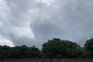
These storms may bring whirlwinds, lightning and strong gusts. Water levels in small rivers and streams in the Central Highlands may rise suddenly, with localized flooding possible, while water levels in the Mekong River are expected to gradually rise with the tide.
The meteorological agency recommended that residents take precautions against the coming rains to reduce risks and losses.
