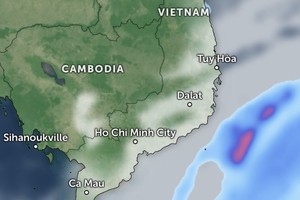
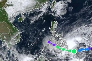
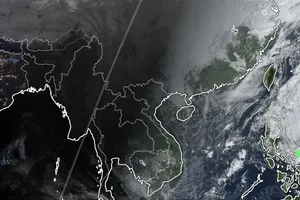
The system is forecast to continue weakening as it moves into Northern Vietnam mainland.
Updated at 7 a.m. on September 24 by the National Center for Hydro-Meteorological Forecasting, Ragasa (storm No. 9) moved to around 21.3 degrees North latitude and 113.9 degrees East longitude, about 380 kilometers east of the Leizhou Peninsula, China.
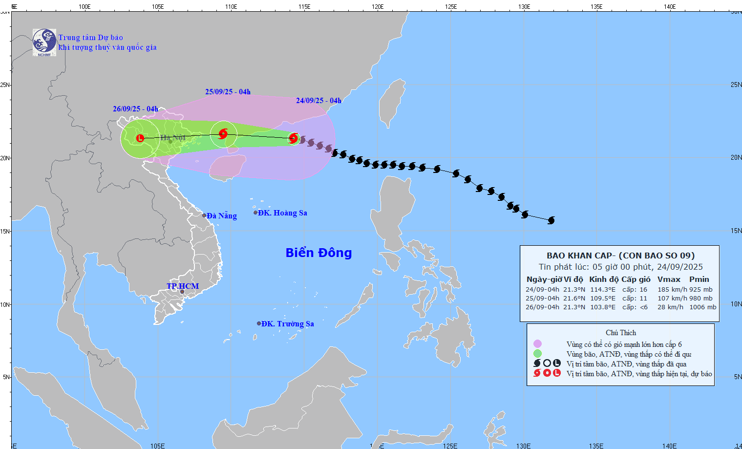
At this time, the storm force was still very strong, at category 15–16 (167- 201 kilometers per hour), with gusts exceeding category 17.
The center forecast that in the next three hours, the storm would quickly move west-northwest at about 20 kilometers per hour.
Vietnamese meteorologists assessed that storm No. 9 of the year would diminish further as it approaches the coast of Guangxi Province, China.
Forecasts indicate that its force will decrease to category 11, with gusts up to category 13 as the super typhoon crosses the Leizhou Peninsula.
Compared with forecasts issued prior to September 24, the latest scenario shows that the storm’s intensity is expected to decrease as it moves quickly into the Gulf of Tonkin and makes landfall in Northern Vietnam on September 25.
Even after downgrading from super typhoon strength, the circulation of storm No. 9 is forecast to cause significant influence over Northern localities and nearby waters upon entering Vietnam.
In the northern part of the East Sea, winds of category 10–13 (89-149 kilometers per hour) are expected, with areas near the storm’s center reaching category 14–16 and gusts above category 17 (202-220 kilometers per hour). Huge waves could exceed 10 meters, causing extremely rough seas.
From noon of September 24, the northeastern waters, including Bach Long Vi, will see winds gradually increasing to category 6–7 (39-61 kilometers per hour), with gusts up to category 9 (75-88 kilometers per hour). By tonight, the northern Gulf of Tonkin, comprising Bach Long Vi, Van Don, Co To, Cat Hai and Hon Dau, will experience forces of category 8 (62-74 kilometers per hour), with areas near the storm’s center reaching category 9–11 (75-117 kilometers per hour) and gusts up to category 13 (134-149 kilometers per hour), waves of 3–5 meters and very rough seas.
Alongside huge waves, coastal areas from Quang Ninh to Hai Phong will likely see water surge by 0.4–0.6 meters, posing a high risk of dike and embankment erosion, destruction of aquaculture farms and damage to vessels.
On land, from the early morning of September 25, coastal areas from Quang Ninh to Ninh Binh may experience winds of category 6–7, with areas near the storm’s center reaching category 8–9 (62-88 kilometers per hour) and gusts up to category 11 while inland areas of northeastern Vietnam will have winds of category 5–6 (29-49 kilometers per hour), with gusts up to category 7–8 (50-88 kilometers per hour).
Director of the National Center for Hydro-Meteorological Forecasting Mai Van Khiem indicated that widespread heavy rainfall is expected from the night of September 24 until the night of September 26 across Northern Vietnam, Thanh Hoa and Nghe An provinces, with rainfall ranging from 100–250 mm, and some areas exceeding 400 mm.

