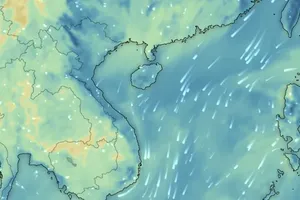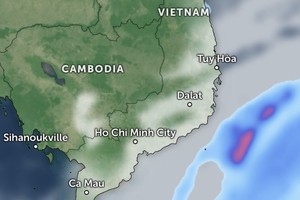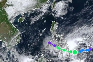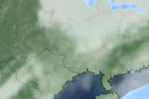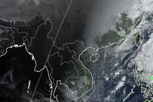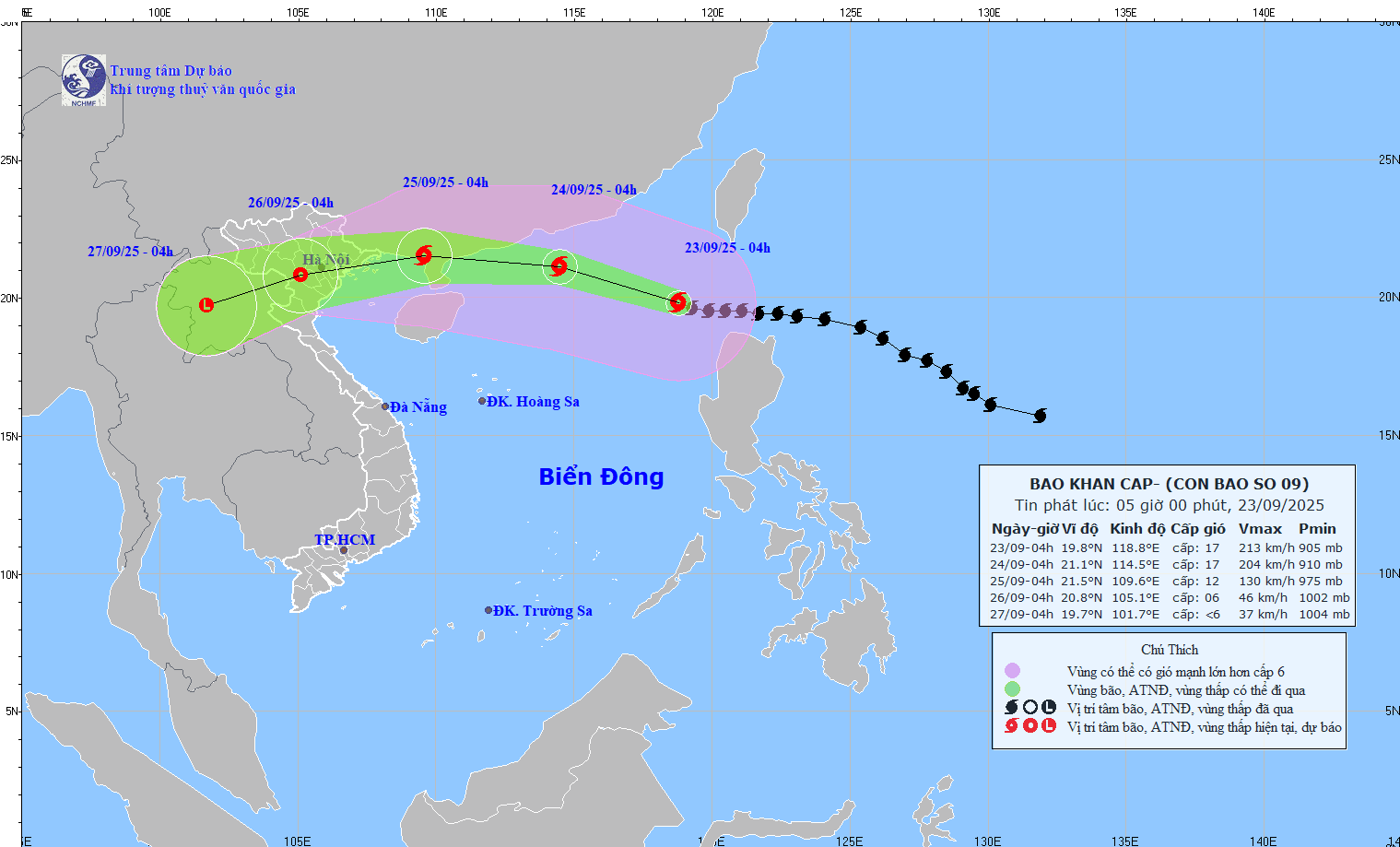
The National Center for Hydro-Meteorological Forecasting (NCHMF) reported on the morning of September 23 that at 6 a.m., the typhoon’s eye was located at around 19.8 degrees North latitude and 118.5 degrees East longitude, in the northern East Sea, about 840 kilometers east of the Leizhou Peninsula. Maximum sustained winds near the center remained at the highest level — Level 17 (202–221 km/h), with gusts exceeding that level. Over the next three hours, the storm is forecast to move west-northwest at roughly 20 km/h.
According to the center, Ragasa’s eye will be about 450 kilometers east of the Leizhou Peninsula by early morning on September 24. Although slightly weaker, the storm is expected to retain wind speeds of Level 16–17 with gusts above Level 17. The northern East Sea will remain under a Level 4 natural disaster risk alert.
By the morning of September 25, the typhoon will make landfall in southern Guangdong Province (China), weakening to Level 12 with gusts up to Level 15. The northern East Sea will still face a Level 4 disaster risk, while the northern Gulf of Tonkin will be placed under a Level 3 alert.

On September 25, Ragasa will continue to weaken as it shifts west-southwest, making landfall in Northern Vietnam, with its main impact on areas from Quang Ninh to Ninh Binh. By the morning of September 26, after moving inland, it is forecast to weaken further to Level 6 with gusts up to Level 8, downgrading into a tropical depression.
The NCHMF warned that from early September 25, coastal areas from Quang Ninh to Thanh Hoa will see winds gradually strengthening to Level 6–7, later rising to Level 8. Areas near the typhoon’s center may experience Level 9–10 winds with gusts up to Level 12. Inland northeastern provinces will also face winds of Level 6–7, with gusts up to Level 8–9.
Between the night of September 24 and September 26, Northern Vietnam, Thanh Hoa, and Nghe An are expected to experience heavy to extremely heavy rainfall of 100–250 mm, with some localities seeing totals exceeding 400 mm. Authorities are also urged to prepare for whirlwinds triggered by the typhoon’s vast circulation, both before and during landfall.
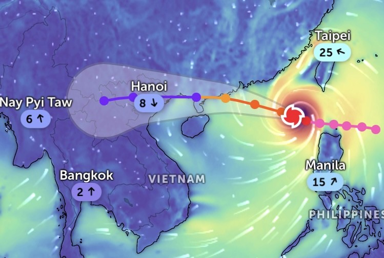
Meteorologists explain that friction with China’s mainland and the influx of dry continental air from a cold surge will cause the storm to lose energy rapidly.
Ragasa reached its peak intensity between the night of September 22 and September 23, with sustained winds of Level 17 — the highest level on Vietnam’s storm scale — marking the first time in the nation’s meteorological history that a typhoon of this magnitude has been recorded.
As for its trajectory, forecasting models have now reached near-consensus. All eight regional storm forecasting centers in Vietnam, the United States, Japan, China, South Korea, the Philippines, Taiwan, and Hong Kong agree that Ragasa will move into southern Guangdong, track along the coast, and then enter Northern Vietnam.
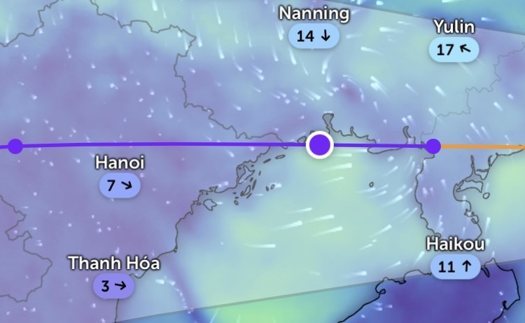
Currently, four major international meteorological agencies also project that by the evening of September 24, once the typhoon reaches the Leizhou Peninsula, it will weaken by 3–5 Levels. US forecasters expect it to drop to Level 13, Japan predicts Level 12, while Hong Kong forecasts Level 14.
All centers agree that the closer Ragasa moves to Vietnam’s mainland, the weaker it will become. Chinese forecasters project the sharpest downgrade, suggesting the storm may weaken to Level 9 before striking Vietnam.
Experts noted that if Ragasa maintains its current track, both Vietnamese and international agencies are likely to continue revising its projected intensity downward in the coming hours.

