Yesterday afternoon, the National Center for Hydro-Meteorological Forecasting issued further warnings about high tides, saltwater intrusion, and thunderstorms affecting the Southern and South Central regions.
According to monitoring data, the water level at Vung Tau station reached 4.2 meters at 2:30 a.m. on March 31. The water level is expected to rise further to 4.25 meters within the next 24 hours. Peak tide periods occur twice daily - between midnight and 4 a.m., as well as from 1 p.m. to 7 p.m.
Meteorologists said that the vulnerable regions of Ba Ria - Vung Tau, Ho Chi Minh City, Tien Giang, Ben Tre, Tra Vinh, and the coastal zones extending from Vung Tau to Ca Mau are experiencing significant flooding. Low-lying, riverside, and areas beyond dyke protection are at heightened risk, leading to disruptions in daily life and production.
The meteorological and hydrological agency has warned that this high tide could reach a peak of 4.25 meters within the next 24-48 hours, approaching last year's record. The primary cause is the combination of the astronomical tidal cycle, strong winds, and large waves at sea.
Weather forecasters advised that people in low-lying areas should not go out during peak tide hours, especially on roads prone to flooding. Local authorities need to have proactive response plans to minimize damage.
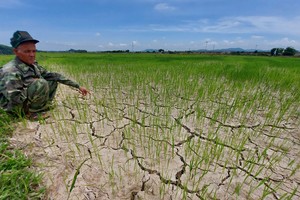
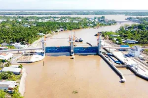
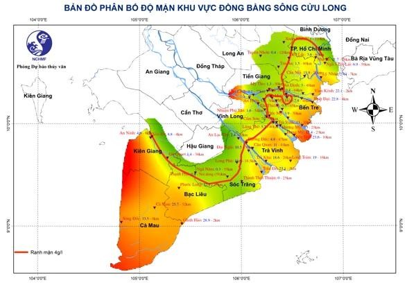
On the same day, the National Center for Hydro-Meteorological Forecasting also said that in the past 10 days from March 21 to 31, salinity in major rivers in the Mekong Delta has increased according to the high tide cycle. Salinity at some stations in Tra Vinh, Soc Trang, and Ca Mau provinces recorded higher levels than the same period in 2024.
Measurements indicate that the 4‰ salinity intrusion reaches the following distances inland such as 55-62km along the Ham Luong River, 40-55km along the Tien and Hau Rivers, and 35-40km along the Cai Lon River.
Salinity intrusion is expected to decrease slightly over the weekend but may still pose a risk to domestic water supplies and irrigation sources over the next 10 days. Therefore, dwellers in localities need to have plans to store fresh water during low tides and limit irrigation pumping during periods of deep salinity intrusion.
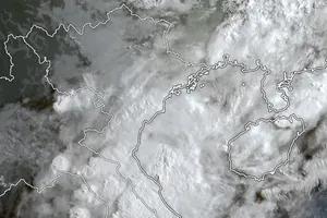
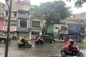
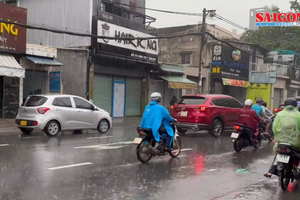
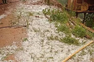
Scattered showers and thunderstorms impacted the South Central and Southern regions yesterday. The National Center for Hydro-Meteorological Forecasting predicted widespread rain would continue this afternoon and tonight, with some areas seeing moderate to heavy downpours.
Furthermore, people should remain cautious of thunderstorms and lightning when traveling outdoors. Local authorities are closely monitoring weather conditions to implement timely response measures.

