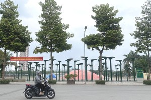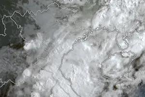
Intense heat blanketed areas stretching from Ha Tinh to Da Nang, as well as the Eastern parts of Quang Ngai to Dak Lak provinces on July 15. Maximum temperatures widely ranged between 35–36 degrees Celsius, with several localities exceeding that threshold.
Notable hotspots included Dong Hoi (Quang Tri) and Tam Ky (Da Nang), both recording 36.1 degrees Celsius; Ba To (Quang Ngai) at 36.3 degrees Celsius; An Nhon (Gia Lai) at 36.5 degrees Celsius; and Tuy Hoa (Dak Lak) at 36.2 degrees Celsius. Relative humidity levels hovered between 55 and 65 percent, intensifying the sweltering and parched conditions.
The heatwave is expected to persist in Central Vietnam over the next one to two days and may spread into the North, where it could last through July 18. In the Central region, hot conditions are forecast to continue until July 19 or 20.
Meteorologists warn that actual perceived temperatures—particularly in urban areas with dense concrete and asphalt surfaces—could be 2–4 degrees Celsius higher than reported. Residents are urged to take precautions against the heat, including avoiding outdoor activities during peak sunshine hours to protect their health.
While Central Vietnam endures extreme heat, the night of July 15 and early morning of July 16 saw localized downpours across the Northern mountainous areas, Central Highlands, and the Southern region.
Some locations recorded abnormally high rainfall: nearly 130mm in Phu Dinh (Thai Nguyen), 82.8mm in Ta Tong (Lai Chau), 70.4mm in Tan Thanh (Tuyen Quang), and 82.4mm in Mo Ra (Kon Tum).
For July 16, scattered showers are expected to continue across the Northern mountains, with localized heavy rain—especially in the evening and overnight—bringing 15–30mm of rain, with some areas exceeding 70mm.
In the Central Highlands and Southern Vietnam, thunderstorms are likely in the afternoon and evening, with average rainfall between 10–30mm and localized totals surpassing 60mm.
Tropical depression forms East of the Philippines, may strengthen into storm
The National Center for Hydro-Meteorological Forecasting reported that a low-pressure system East of the Philippines had intensified into a tropical depression on the morning of July 16.
As of 7 a.m. on July 16, the center of the tropical depression was located at approximately 14.1 degrees North latitude and 131.8 degrees East longitude, about 1,000 kilometers South-Southeast of Luzon Island. Maximum sustained winds near the center reached level 6 (39–49 km/h), with gusts up to level 8. The system is moving slowly West-Northwest at 5–10 km/h.
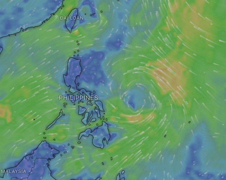
Forecasts indicate that over the next one to two days, the tropical depression will continue west-northwestward and may strengthen into a tropical storm. It is expected to pass over Northern Luzon and enter the East Sea by the weekend—around July 19–20.
Meteorologists caution that the system is still developing, and its evolution remains uncertain due to unstable atmospheric patterns, including fluctuations in the Southwest monsoon and subtropical ridge.
If it strengthens into a storm and moves into the East Sea, it is projected to continue tracking West-Northwest toward the Northern Gulf of Tonkin, with a 50–60 percent probability.
Fishermen currently at sea or preparing to head offshore are advised to closely monitor forecast updates.

