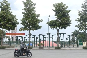
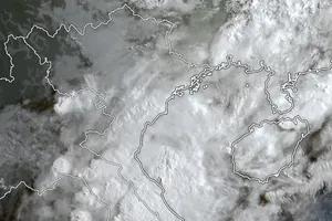
Southern Vietnam is forecast to experience downpours in the late afternoon and evening of July 17.
This morning, the tropical depression was located over the eastern waters of the Philippines, at approximately 14.7 degrees North latitude and 128.5 degrees East longitude, with maximum wind speeds of level 6–7 (39 kilometers to 61 kilometers per hour). The system is moving in a west-northwesterly direction at a rapid speed of about 20 kilometers per hour.
It is forecast that from July 17 to July 18 morning, the tropical depression will enter the eastern part of Luzon Island, the Philippines and is likely to strengthen into a storm with maximum wind speeds of 102 kilometers per hour.
By the morning of July 19, the storm could be located in the northeastern part of the East Sea, with gusty winds ranging from 118 to 133 kilometers per hour.
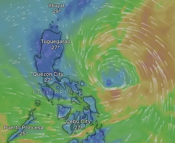
Over the next two or three days, the storm will continue moving west-northwest at a speed of 15–20 kilometers per hour and may continue to strengthen as it enters the East Sea.
In related weather news for the mainland, this morning, the Northern region experienced early sunshine, causing temperatures to rise quickly and creating a hot and humid atmosphere. Meanwhile the Central region remains dry due to the warming effect of the foehn winds, with intense heat temperatures in several places.
In contrast, the Southern region has recorded thunderclouds in the early morning. Forecasts indicated that widespread thunderstorms are expected, with moderate to heavy rain accompanied by whirlwinds, lightning and strong gusts of wind.


