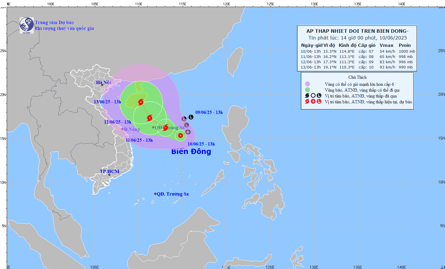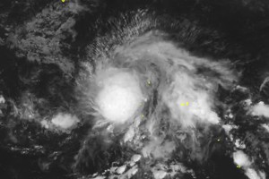
The National Center for Hydro-Meteorological Forecasting, on the afternoon of June 10, reported that a tropical depression in the East Sea is likely to strengthen into a typhoon within 24 hours, which would make it the first of the 2025 season.
As of 4 p.m. today, the center of the tropical depression was located at approximately 15.3 degrees North latitude and 114.8 degrees East longitude, about 360km east-southeast of the Paracel Islands. The strongest winds near the depression's center reached levels 6-7 (39 to 61 km/h), with gusts up to level 9. The system is moving slowly in a west-northwesterly direction at a speed of about 5 km/h and is expected to continue intensifying.
Forecasts indicate that the tropical depression will strengthen into a typhoon in the coming hours, maintaining its west-northwesterly track and gaining further strength. Should this scenario materialize, the storm will directly impact weather conditions in the Central region, unleashing a wave of heavy, widespread rainfall.
The northern area of the East Sea, including the waters of the Paracel Islands, and the northern part of the central East Sea will experience thunderstorms and strong winds of level 6-7, later increasing to level 8 with gusts up to level 11. The storm's peak intensity could reach levels 10-11. In the offshore waters from Quang Tri to Quang Ngai and the Gulf of Tonkin, winds are predicted to reach level 7, with some areas seeing level 8 and gusts up to level 10. Sea waves are expected to be between 3 and 5 meters high, indicating very rough seas.
Onshore, widespread heavy rainfall is expected for the Central and Central Highlands regions. Specifically, the South Central Coast will see moderate to heavy rain, with some areas experiencing torrential downpours, on June 11. Rainfall is expected to range from 30-80mm, with localized totals potentially exceeding 150mm.
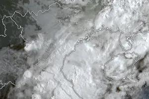
From the night of June 11 through June 13, the rain will expand to the Central Coastal Region and the Northern Central Highlands. The forecast for the Central Coastal Region (from Quang Binh to Quang Ngai) indicates rainfall of 100-300mm, with some locations surpassing 450mm. The Northern Central Highlands can expect 70-150mm, with some areas exceeding 200mm. There is a high risk of localized, intense downpours exceeding 200mm within a six-hour period, which could trigger flash floods, landslides, and inundation.
In addition to the tropical depression, the Southwest monsoon is also intensifying. Consequently, on June 11, the Central Highlands and the Southern region will continue to experience moderate to heavy rain, with some areas seeing torrential rainfall. Common precipitation levels will be between 30-80mm, with some locations exceeding 150mm.
The meteorological agency has issued a warning that the rainfall situation remains complex and is highly dependent on the track and intensity of the tropical depression (or typhoon) as it approaches the coast. Residents in the Central, Central Highlands, and Southern provinces are urged to closely monitor subsequent bulletins and proactively implement response measures to mitigate the risks of heavy rain, flash floods, and landslides.
This afternoon, the Ministry of Agriculture and Rural Development issued a dispatch urging numerous localities to proactively monitor and prepare for the approaching tropical depression, which has the potential to become Typhoon No.1.


