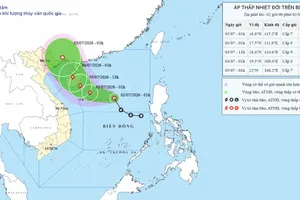
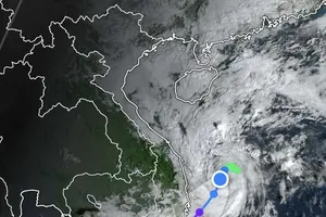
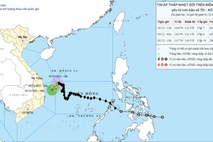
Low-pressure zone over East Sea likely to strengthen into tropical depression Weather 01/07/2026 09:43
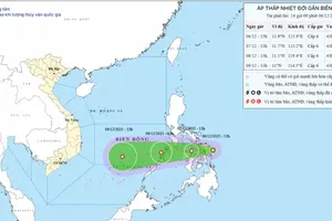
Tropical depression forms in East Sea, triggering rough seas in northern waters Weather 05/06/2026 09:36
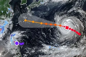
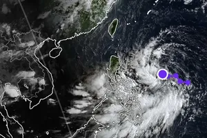
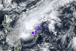
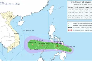
Central region faces potential impact of country’s 16th storm in coming days Weather 04/12/2025 16:17
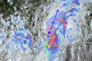
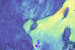
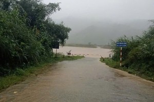
Central region to experience widespread downpour starting night of December 2 Weather 02/12/2025 13:31