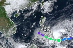
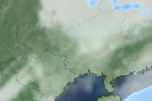
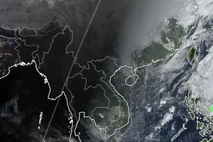
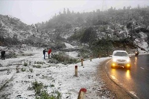
As updated by international meteorological centers on the early morning of September 26, storm Bualoi entered the central Philippines with severe winds, heavy rainfall and dangerous high waves.
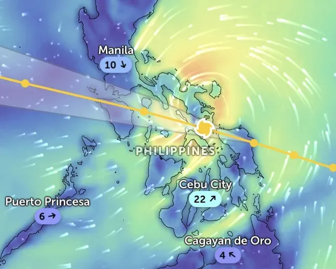
The Japan Meteorological Agency (JMA) reported that Bualoi is classified as a severe tropical storm with sustained winds of 100 kilometers per hour (equivalent to category 10 on the Vietnamese storm force scale) and a central pressure of 985 hPa.
The Hong Kong Observatory (HKO) recorded the storm was centered at 4 a.m. on the same day as being located at 12.2 degrees North latitude and 124.1 degrees East longitude over the central Philippines, with winds of 110 kilometers per hour (equivalent to Category 1).
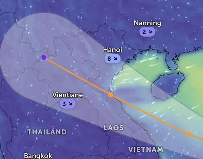
The U.S. Joint Typhoon Warning Center (JTWC) reported in its 6 p.m. UTC bulletin on September 25 (1 a.m. on September 26, Hanoi time) that the storm is about 560 kilometers southeast of Manila, the Philippines with maximum winds of 100 kilometers per hour (category 10), pressure around 993 mb (U.S. scale), moving west-northwest at nearly 25 kilometers per hour. Waves near the storm center could reach 7–8 meters (equivalent to dangerous wave levels according to Vietnamese standards).
Other U.S. meteorological models also confirmed that Bualoi was near 12.1 degrees North latitude, 125.5 degrees East longitude, with winds of approximately 102 kilometers per hour (equivalent to category 10), pressure 993 mb, moving west-northwest.
Compared to earlier reports of the Vietnam National Center for Hydro-Meteorological Forecasting on September 25, Bualoi has weakened slightly by 1–2 categories, approximately category 12 right after this system made landfall in the Philippines.
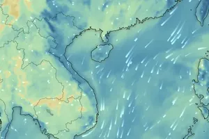
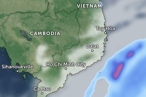
Online forecasting platforms such as Zoom Earth, compiling JMA and JTWC data, predicted that over the next 24 hours, the storm will downgrade slightly after crossing the Philippines but may strengthen again upon entering the East Sea, potentially reaching an even higher category (possibly exceeding category 12 on the Vietnamese scale).
According to the Vietnam National Center for Hydro-Meteorological Forecasting, as of 1 a.m. on September 26, the storm center was located around 11.9 degrees North latitude and 125.2 degrees East longitude, over the central Philippines. Maximum winds near the center reached category 11 (103–117 kilometers per hour), gusting up to category 14. The storm is moving west-northwest at 25–30 kilometers per hour and is forecast to enter the East Sea tonight, becoming storm No. 10 of 2025.
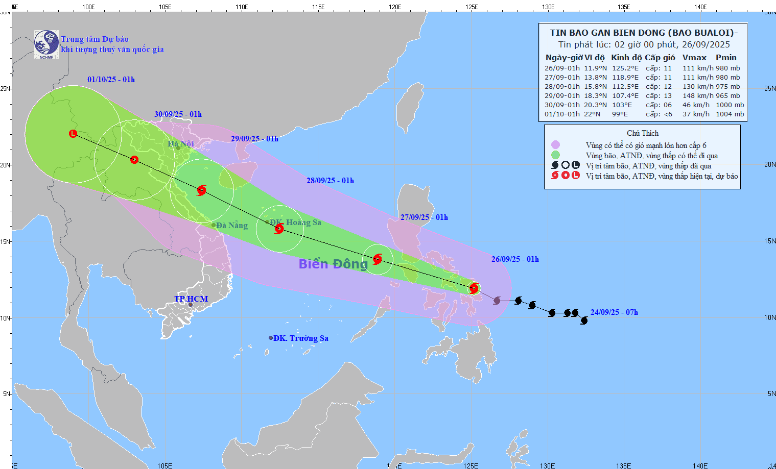
The meteorological agency issued a forecast track for the storm over the next several days as follows.
By 1 a.m. on September 27, the tropical storm will persist west-northwest at a maximum speed of 25–30 kilometers per hour, further approaching the East Sea, with winds at category 11, gusting to category 14.
At around 1 a.m. on September 28, Bualoi is expected to move west-northwest at 25–30 kilometers per hour, potentially strengthening to category 12, gusting to category 15.
By 1 a.m. on September 29, this system will continue moving west-northwest at an hourly speed of around 25 kilometers, expected to reach category 12–13, gusting to category 16. Dangerous sea areas include the northwestern and central East Sea, the Paracel Islands, the southern Gulf of Tonkin and waters from Quang Tri to Quang Ngai provinces.
