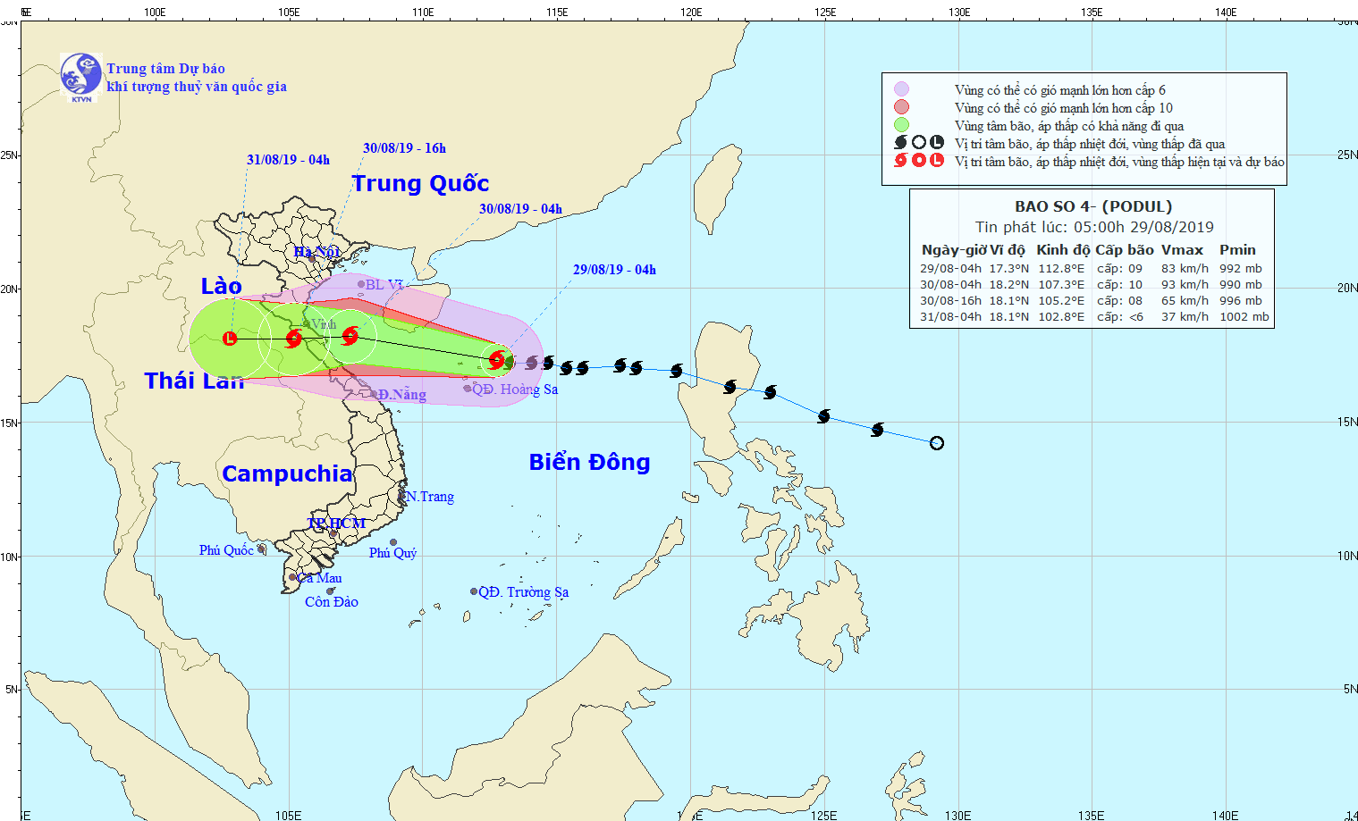
In the next 24 hours, Podul is expected to continue moving westward and pass very close to mainland provinces from Thanh Hoa to Quang Binh.
By 1pm Saturday, the storm is forecast to briefly downgrade and respectively turn into a tropical depression and a low pressure zone in the upper part of Laos.
Because of the storm influence, heavy to heavy downpours are warned in the Northern region, including the North- Central provinces from Thanh Hoa to Thua Thien- Hue with an average rainfall of 250-400 mm from August 29 to September 2.
The offshore waters from Thanh Hoa to Quang Binh as well as the coastal provinces from Thanh Hoa to Quang Tri are expected violent winds of level 8-11, big waves and rough sea tonight.
The high risks of flash flood, landslide and flooding are also warned in the riverbanks and low-lying areas across the provinces.
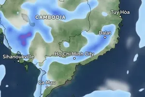
Additionally, the strong operation of the southwestern monsoon has triggered medium- heavy rainfalls and thunderstorms in the Central Highlands and Southern regions at this time.






)


