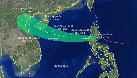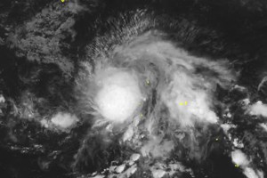
According to the National Hydrology Meteorology Forecast Center, Podul is expected to move quickly west- northwestward at a maximum speed of 30 kilometers per hour, and then it will operate stronger within the next 24 hours.
By 4am tomorrow, the tropical storm is forecast to be at around 240 kilometers from the Paracel Island. The strongest winds near the center can gust 60-90 kilometers an hour.
Podul is going to trigger heavy downpours, violent winds and rough sea in the northern territorial water of the East Sea.
During the next 24-72 hours, this dangerous zone will continue moving west- northwestward.
By morning Saturday, Podul will be able to enter the southern territorial water of the Gulf of Tonkin.


