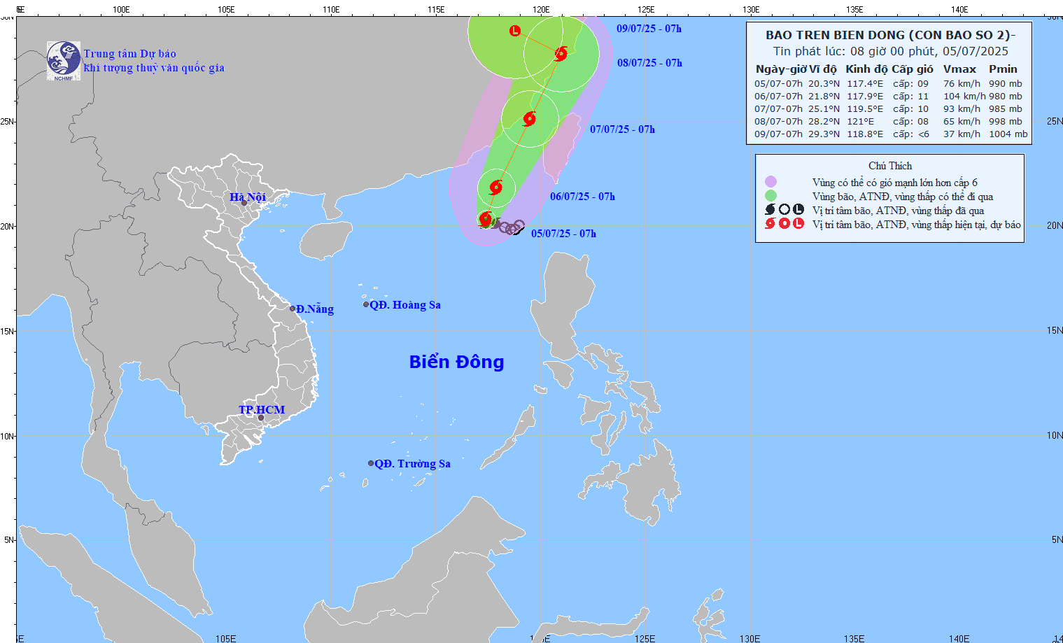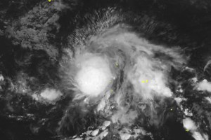
The National Center for Hydro-Meteorological Forecasting (NCHMF) reported that as of 7 a.m. on July 5, the storm was located at approximately 20.3 degrees North latitude and 117.4 degrees East longitude, and moving slowly toward west-northwest at a hourly speed of 5–10 kilometers.
Maximum sustained winds of 62–88 kilometers per hour. This motion is forecast to continue for the next day or two, the National Center for Hydro-Meteorological Forecasting said.
Storm Danas may gradually change its direction toward the north-northwest, continue moving at 5–10 kilometers per hour, and intensify further.
In the next 48 to 72 hours, the storm is expected to keep its current direction, moving along Taiwan Strait (China) and is likely to downgrade gradually.
Under the storm's influence, the northeastern waters of the northern East Sea will experience thunderstorms, heavy rains, rough sea and waves reaching heights of 4 to 6 meters.
Vessels operating in the dangerous zone face a high risk of being affected by thunderstorms, cyclones, gusty winds and huge waves.


