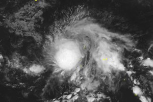
The National Center for Hydro-Meteorological Forecasting (NCHMF) reported that at 7 a.m., the tropical depression was located near 15.7 degrees North latitude and 116.0 degrees East longitude over the northeastern East Sea. Maximum sustained winds were 40–50 kilometers per hour, with gusts up to 75 kilometers per hour. The system was moving southwest at about 15 kilometers per hour.
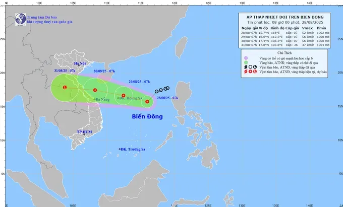
In the next 24 hours, the tropical depression is expected to locate at 16.6 degrees North latitude, 112.5 degrees East longitude over the Paracel Islands, with winds of 50–60 kilometers per hour and gusts to 75 kilometers per hour.
The dangerous area extends from 14.5 to 18.0 degrees North latitude and from 111.5 to 116.5 degrees East longitude.
Over the next 48–72 hours, the system will track mainly westward at around 20 kilometers per hour. By the morning of August 30, the center of the tropical depression is forecast near 17.4 degrees North latitude, 108.3 degrees East longitude, off the coast from Nghe An to Da Nang, maintaining tropical depression strength before weakening as it approaches land.
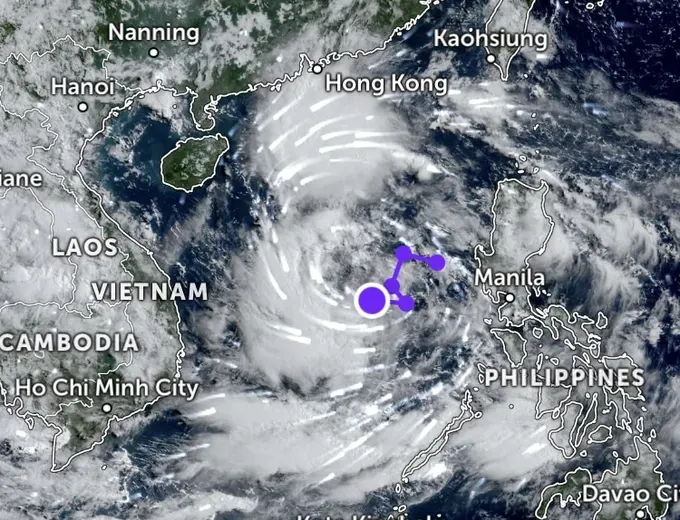
International agencies including the Joint Typhoon Warning Center (U.S.) and the Japan Meteorological Agency note that the system over the East Sea could strengthen, with its development potential rated low to medium.
Meteorologists said that chances are low that the depression becomes a storm before landfall, but widespread rain and gusty winds are likely in Central Vietnam from August 29 to August 31.
The NCHMF urges locals and fishermen to closely monitor official updates and prepare for possible impacts.

