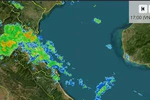
At 1 p.m. on August 19, the tropical depression was about 180 kilometers east of Hainan Island, packing maximum winds of Force 6 and gusts of up to Force 8. It was moving west-northwest at 5–10 kilometers per hour.
The system is forecast to turn westward and strengthen to Force 6–7, with gusts of up to Force 9, on August 20–21.
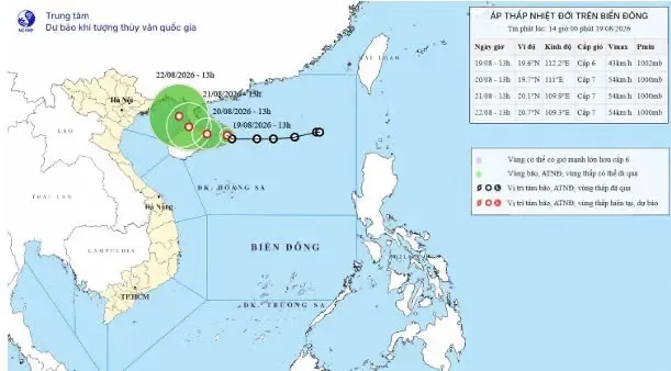
The northwest northern East Sea is expected to see strong winds and waves two to four-meter high. From August 21, the eastern Gulf of Tonkin could also be affected, posing risks to vessels.
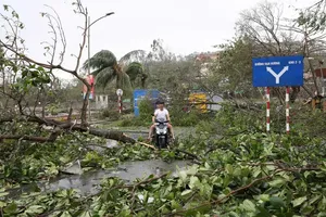
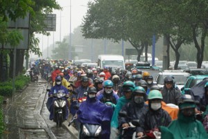
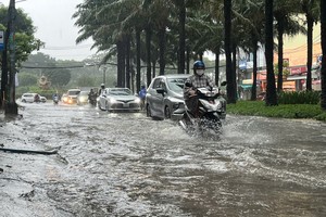
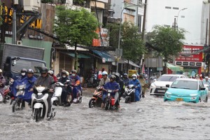
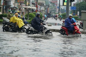
Meanwhile, heavy rain and thunderstorms are forecast to continue in Hanoi and parts of the Northern and Central regions through August 20, with some areas receiving more than 200mm of rain.








)








