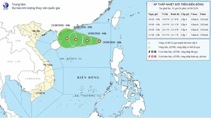
At 4 a.m., the tropical depression was centered at approximately 19.8 degrees north latitude and 117.8 degrees east longitude, with maximum sustained winds at level 6 (39–49 km/h) and gusts reaching level 8 (62–74 km/h).
According to the National Center for Hydro-Meteorological Forecasting, the tropical depression is expected to continue moving westward at about 10 km/h. By 4 a.m. on August 19, its center is forecast to be at approximately 19.9 degrees north latitude and 115.5 degrees east longitude, still over the waters east of the northern East Sea, with maximum winds at level 6 (39–49 km/h) and gusts up to level 8 (62–74 km/h).
The system is then forecast to move west-northwest at around 10km per hour. By 4 a.m. on August 20, its center is expected to be at approximately 20.1 degrees north latitude and 113.4 degrees east longitude, about 760km east-northeast of China's Hainan Island. Maximum winds are forecast at level 6 (39–49 km/h), with gusts up to level 8 (62–74 km/h).
Over the next 24 hours, the eastern waters of the northern East Sea are expected to experience Force 6 winds and gusts up to Force 8, with waves reaching 2-3.5 m. Vessels operating in the hazardous area may be affected by thunderstorms, whirlwinds, strong winds, and high waves. The disaster risk level for the northern East Sea is forecast at Level 3 (12 to 19 km/h).
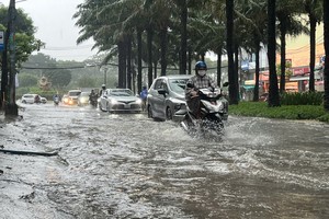
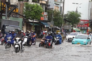
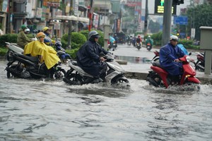
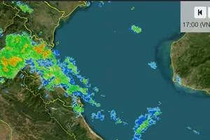
On land, from the night of August 17 to early morning on August 18, mountainous and midland areas of northern Vietnam, the Central Highlands, and the southeastern region experienced rain, moderate rain, and thunderstorms, with locally heavy to torrential rain. Some areas recorded rainfall exceeding 80mm.
The hydro-meteorological agency warned that from the morning of August 18 through August 19, northern Vietnam and areas from Thanh Hoa to northern Quang Tri will experience moderate to heavy rain and thunderstorms, with rainfall generally ranging from 70 to 160 mm and locally exceeding 250 mm.
From August 20 to 21, these areas are expected to continue experiencing moderate to heavy rain, with rainfall generally between 70mm and 130mm and locally exceeding 200mm. Total rainfall from early morning on August 18 through August 21 is forecast to be 150-300mm, with some areas receiving more than 450mm.
Early on August 18, the meteorological agency also warned of a high risk of flash floods, landslides, and land subsidence triggered by heavy rain, flooding, or runoff in the provinces of Thai Nguyen, Bac Ninh, Quang Tri, and Lam Dong.







)








