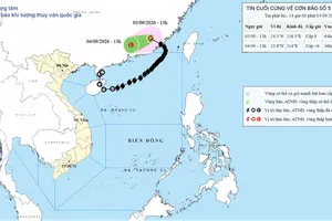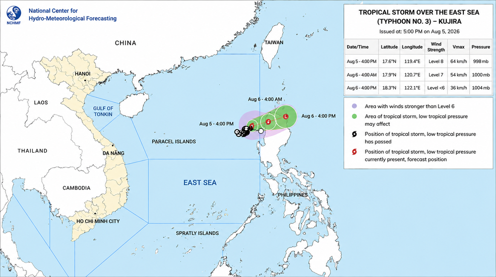
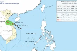
The National Center for Hydro-Meteorological Forecasting said typhoon No.3 was centered at about 17.6 degrees North latitude and 119.4 degrees East longitude over waters southeast of the northern East Sea as of 4 p.m. on August 5. It was packing sustained winds of 62-74 kph, equivalent to level 8, with gusts reaching level 10.
The storm has already shifted course, turning north-northeast on Wednesday afternoon.
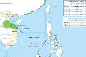
It is expected to turn east-northeast and accelerate to 10-15 kph, with its center moving to waters northwest of Luzon by 4 a.m. on August 6. The storm is forecast to weaken into a tropical depression, with winds dropping to level 7 and gusts to level 9.

By 4 p.m. the same day, the depression is expected to continue east-northeast at 10-15 kph, move toward northeastern Luzon and dissipate into a low-pressure area, with winds below level 6.
Meteorologists said the storm could weaken more rapidly than previously anticipated.
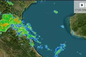
Despite its expected dissipation, typhoon No.3 is currently generating stormy conditions over southeastern waters of the northern East Sea, with winds at level 6-7 and gusts up to level 9. Near the storm's center, winds reach level 8 with gusts to level 10, while waves are 2-4 meters high, creating hazardous seas.
The storm is not expected to directly affect Vietnam's coastal areas or mainland.
Meanwhile, satellite analysis shows the Pacific has recorded its 15th storm of 2026, Chan-hom. According to Mr. Hoang Phuc Lam, Deputy Director of the National Center for Hydro-Meteorological Forecasting, three storms are now active in the northwestern Pacific: Kujira (typhoon No.3), Dolphin, and Chan-hom.
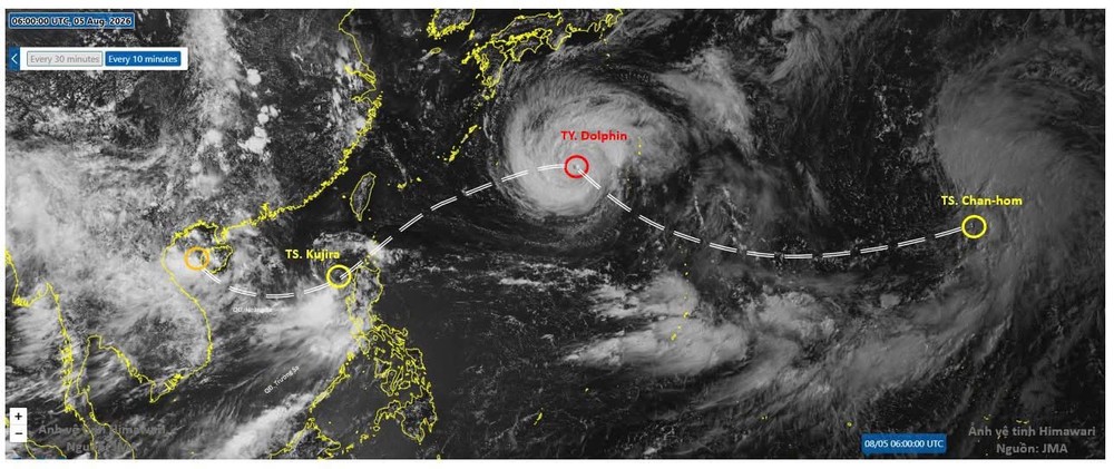
Their circulation is influencing rainfall and sunshine patterns in Vietnam and neighboring areas.
Northern Vietnam, Thanh Hoa, and Nghe An are likely to see continued rain through August 7. From August 8, sunny conditions are expected to intensify, with temperatures of 35-37 degrees Celsius possible in many areas.
Meanwhile, the Central Highlands and Southeastern regions are entering a new rainy spell expected to last at least five to seven days, while rainfall in the Mekong Delta is likely to be lighter.
)









)