Meanwhile, heavy rain is forecast to persist across the Northern and North-Central regions through the morning of August 7, with some areas expected to receive more than 180 mm of rainfall.
According to the National Center for Hydro-Meteorological Forecasting, Kujira moved out of the East Sea on the night of August 5.
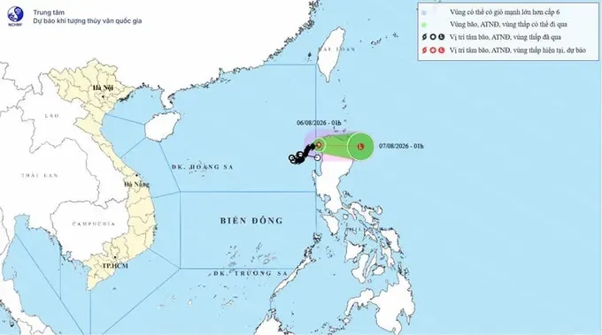
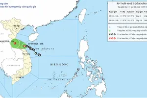
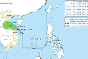
As of early August 6, the storm's center was located at approximately 18 degrees North latitude and 120.2 degrees East longitude over the waters northwest of Luzon Island in the Philippines. Maximum sustained winds near the center reached Level 8 (62–74 kilometers per hour), with gusts up to Level 10. The storm was moving east-northeast at 10–15 kilometers per hour.
Over the next 24 hours, Kujira is forecast to continue moving eastward while weakening into a low-pressure area.
Vietnam's meteorological agency said the storm is not expected to re-enter the East Sea and issued its final advisory at 2 a.m. on August 6.
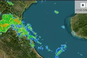
On land, a low-pressure trough continues to bring widespread rainfall to the Northern and North-Central regions. Between 7 p.m. on August 5 and the morning of August 6, several locations recorded heavy rainfall, including 138.4 mm in Bon Phang, Son La Province; 88.8 mm in Huong Nhuong, Phu Tho Province; and 75.8 mm in Cam Thuy, Thanh Hoa Province.
In Muoi Noi Commune, Son La Province, heavy rain triggered a landslide along National Highway 6, disrupting traffic and forcing 26 households to evacuate.

From the morning of August 6 through the morning of August 7, the Northern and North-Central regions are expected to experience moderate to heavy rain and thunderstorms, with widespread rainfall of 30–60 mm and isolated totals exceeding 180 mm. Forecasters warned that rainfall intensity could exceed 100 mm within three hours in some locations, raising the risk of flash floods and landslides.
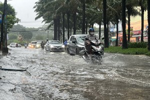
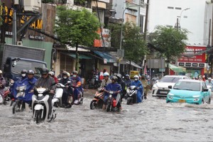
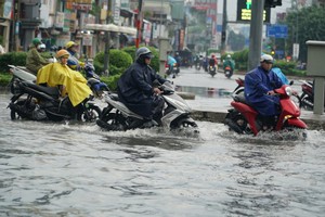
On the afternoon and evening of August 6, scattered showers and thunderstorms are forecast across the Central Highlands and Southeastern regions, with rainfall generally ranging from 15–30 mm and isolated areas receiving more than 80 mm. Thunderstorms may be accompanied by lightning, hail and strong wind gusts.
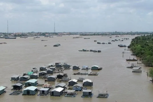
From August 7 to August 9, rainfall is expected to remain concentrated in the eastern Mekong Delta and coastal areas of the western Mekong Delta, while inland parts of the region are likely to receive less rain.
Meteorologists expect rainfall in the Northern and North-Central regions to gradually ease after the morning of August 7. A new spell of hot weather may develop across the Northeastern region, Hanoi and parts of the North-Central region on August 8 and August 9.

)