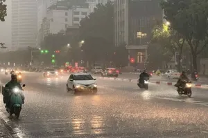
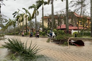
The committee directed authorities to strengthen oversight of vessels leaving port, maintain updated records of boats at sea, and promptly inform vessel owners and captains of hazardous areas to help them avoid danger.
It also called for increased monitoring of maritime traffic, particularly tourist boats operating in bays and coastal and island waters.
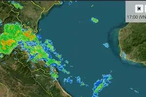
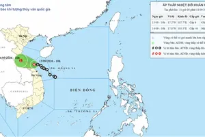
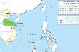
According to the National Center for Hydro-Meteorological Forecasting, as of 1 p.m. on August 7, the tropical depression over the Gulf of Tonkin remained nearly stationary. Its center was located at approximately 19.8 degrees North latitude and 108.1 degrees East longitude, over waters southeast of Bach Long Vi Special Zone, with maximum sustained winds of 39-49 kilometers per hour (Force 6) and gusts up to Force 8.
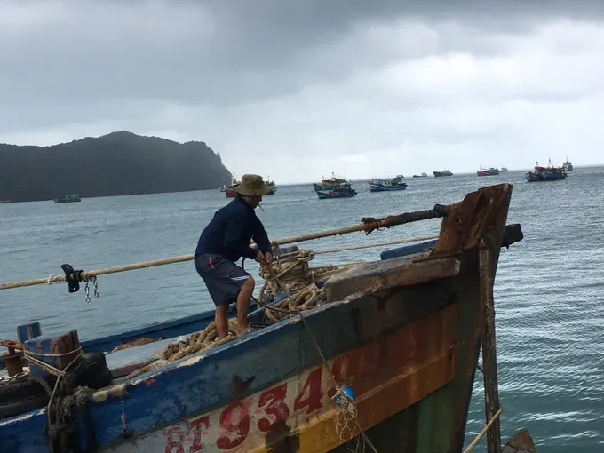
The system is forecast to move east-southeast at about five kilometers per hour, reaching waters north of Hainan Island, China, by 1 p.m. on August 8, while maintaining its current intensity. By August 9, it is expected to weaken into a low-pressure area over waters east of Hainan Island.
Forecasters said the tropical depression is unlikely to strengthen into a storm or make landfall in Vietnam. However, hazardous marine conditions are expected to persist.
The Gulf of Tonkin is forecast to experience Force 6 winds, gusting to Force 8, with waves of 1.5-2.5 meters. The northern and central East Sea, including the Hoang Sa (Paracel) Islands, are expected to see Force 6-7 winds, gusts up to Force 8, and waves of 2-4 meters, creating rough seas.
Authorities warned that vessels operating in these waters could face thunderstorms, waterspouts, strong winds and high waves.

)







)