Meanwhile, scattered rainfall was recorded in several northwestern communes and wards of Ho Chi Minh City on the same afternoon.
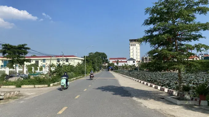
According to the National Center for Hydro-Meteorological Forecasting, localized heat affected the North and Central regions, stretching from Thanh Hoa to the eastern part of Quang Ngai Province, on August 8. The heatwave is expected to intensify over the coming days, with severe heat projected in some areas.
By 1:00 p.m. on August 8, temperatures at several monitoring stations had surpassed 35 degree Celsius, including Bac Me in Tuyen Quang Province at 37 degree Celsius, Ninh Binh Province at 36.6 degree Celsius, Con Cuong in Nghe An Province at 36.4 degree Celsius, and Ba To in Quang Ngai Province at 35.6 degree Celsius. Humidity levels ranged between 65 percent and 75 percent.
Forecasters expect the heat to persist across Northeastern area on August 9, with peak temperatures generally reaching 35–36 Degree Celsius, and exceeding 36 Degree Celsius in some localities. Relative humidity is projected to settle between 60 percent and 65 percent.
The Northwestern region and the coastal strip from Thanh Hoa to eastern Quang Ngai will continue to experience localized heat, with highs exceeding 35 degree Celsius in certain areas.
On August 10, hot weather is expected to continue across the Northern region, excluding Lai Chau, Dien Bien, and northern Son La, as well as the region stretching from Thanh Hoa to eastern Quang Ngai Province, with severe heat projected in localized areas. Maximum temperatures will generally range from 35 degree Celsius to 36 degree Celsius, with some locations exceeding 37 degree Celsius. Relative humidity is expected to drop as low as 55–60 percent, with peak heat sustained between 11:00 a.m. and 5:00 p.m.
Forecasters predict the heatwave across the Northern region will likely abate around August 14–15, while high temperatures are expected to persist in the Central area.
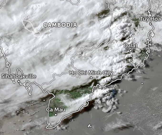
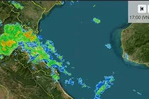
Meanwhile, according to the Southern Hydro-Meteorological Station, heavy thunderstorm clouds developed on the afternoon of August 8, bringing rain to several northwestern communes and wards of Ho Chi Minh City, primarily affecting areas bordering former Binh Duong Province.
The rain system later expanded into neighboring areas, including Dau Tieng. Thunderstorms originating in Tay Ninh Province also swept toward Ho Chi Minh City, bringing rainfall to the Cu Chi and Ben Cat areas. Forecasters warned that the rain could be accompanied by tornadoes and strong wind gusts. Central Ho Chi Minh City is unlikely to see rainfall on the evening of August 8.
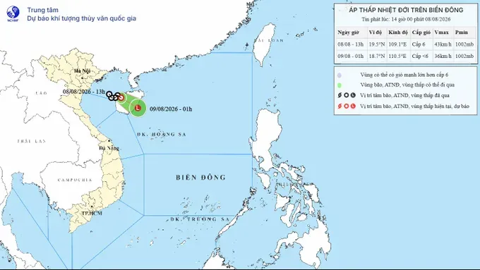
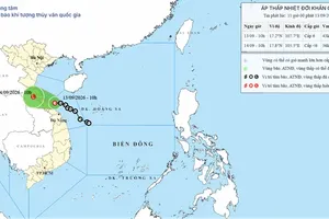
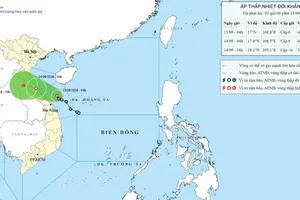
A tropical depression formed over the Gulf of Tonkin on the afternoon of August 8 has shifted direction, moving east-southeast toward open waters and heading west of China's Hainan Island, according to the National Center for Hydro-Meteorological Forecasting.
By August 9, the system is projected to continue moving east-southeast at 10 to 15 kilometers per hour as it approaches the southeastern coast of Hainan Island, where it is expected to weaken into a low-pressure area.
Meteorologists confirmed the tropical depression poses no direct threat to the Vietnamese mainland.


)









)