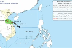
The National Center for Hydro-Meteorological Forecasting (NCHMF) said that the low-pressure system over the southeastern part of the northern East Sea strengthened into a tropical depression on the afternoon of August 4.
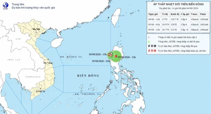
At 1 p.m., the center of the tropical depression was located at about 17 degrees North latitude and 119.7 degrees East longitude, over the southeastern waters of the northern East Sea.
Maximum sustained winds near the center reached Force 6 (39-49 kilometers per hour), with gusts up to Force 8. The system was moving northwest at 5-10 kilometers per hour.
On the afternoon and evening of August 4, the southeastern waters of the northern East Sea were forecast to experience Force 6 winds, gusting to Force 8, with waves of two to three meters and rough seas.
The NCHMF warned that vessels operating in the area could face thunderstorms, waterspouts, strong winds and high waves.
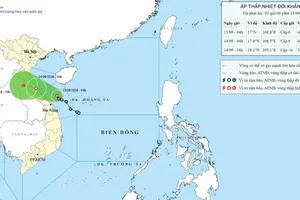
By early August 5, the tropical depression is expected to change direction and move east, while maintaining maximum sustained winds of Force 6 and gusts of up to Force 8. Its center is forecast to be near 16.9 degrees North latitude and 120 degrees East longitude.
By 1 p.m. on August 5, the system is forecast to turn east-southeast at about 10 kilometers per hour, move toward northern Luzon in the Philippines, and weaken into a low-pressure area with winds below Force 6.

)







)