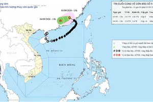
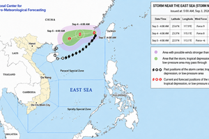
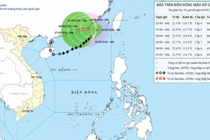
At noon on July 31, the agency said that the typhoon’s center was located at around 18.3 degrees North latitude and 161.9 degrees East longitude, more than 4,200 kilometers east of Luzon Island in the Philippines. The typhoon had reached the highest category of intensity, with winds exceeding Force 17 (220 kilometers per hour) and stronger gusts.
Dolphin is the fourth super typhoon to form in the northwestern Pacific in 2026.
Over the next one to two days, Dolphin is forecast to move mainly west-northwest at a speed of about 20 kilometers per hour. Maximum winds near the center could remain above Force 17.
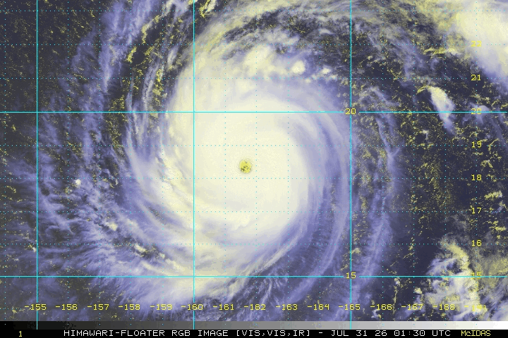
From August 3, the typhoon is expected to turn westward and move at an average speed of about 25 kilometers per hour toward the Fujian-Zhejiang area of China.
Vietnam’s meteorological agency forecast that around August 5, Dolphin will approach the northern waters off Taiwan (China), the southwest monsoon over the southern part of the East Sea is likely to strengthen.
From August 6 to August 7, southwest winds across much of the northern, central and southern areas of the East Sea, including Hoang Sa and Truong Sa special zones, could reach Forces 6-7 (39-61 kilometers per hour). Sea waves are forecast to reach two to four meters, causing very rough conditions.









)