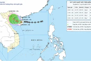
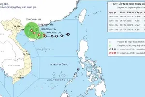
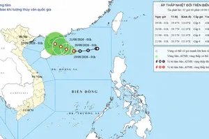
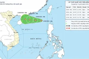
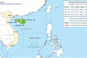
According to the National Center for Hydro-Meteorological Forecasting, early on August 21, the center of the tropical depression was located at around 19.8 degrees North latitude and 108.9 degrees East longitude, over the waters east of the northern Gulf of Tonkin.
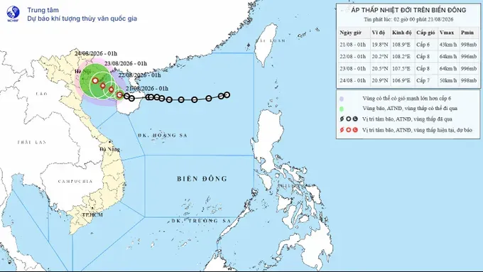
The depression had maximum sustained winds of Force 6, with gusts up to Force 8. It was moving mainly west-northwest at about five kilometers per hour.
From the morning of August 21 to the morning of August 22, the tropical depression is forecast to continue moving west-northwest at about five kilometers per hour and may strengthen into a storm with winds reaching Force 8 and gusts up to Force 10.
By the morning of August 23, the storm is expected to continue moving west-northwest at three to five kilometers per hour. It will be over the northern waters of the Gulf of Tonkin, about 100 kilometers east-southeast of Hai Phong, while maintaining winds of Force 8 and gusts up to Force 10.
Over the following 48-72 hours, the storm is forecast to continue moving west-northwest at three to five kilometers per hour and gradually downgrade.
Meanwhile, the Southern Regional Hydro-Meteorological Station said that the Southern region would see fewer clouds and longer sunny periods on August 21. Maximum temperatures are forecast to range from 31-33 degrees Celsius, with some areas exceeding 33 degrees Celsius. Temperatures in Lam Dong Province are expected to range from 27-30 degrees Celsius.
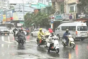
However, some showers and thunderstorms may still occur in the Southern region during the morning and around noon on August 21. By late afternoon and evening, the affected area is expected to gradually expand.
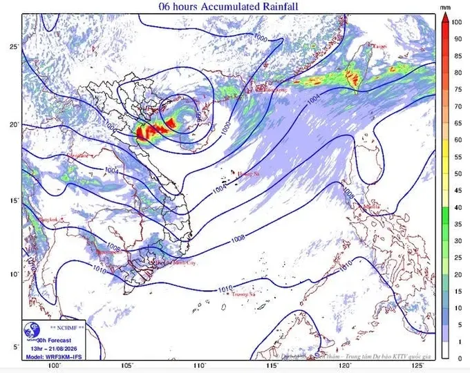
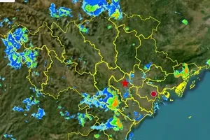
The Southeastern provinces and Lam Dong are forecast to experience scattered showers and thunderstorms, with moderate to heavy rain in some areas. Heavy rainfall is expected to be concentrated in northern Dong Nai City and the provinces of Tay Ninh and Lam Dong.
The Southwestern region is expected to receive less rain, with rainfall covering less than half of the area. Most locations will see light to moderate rain, with locally heavy downpours possible.
On August 22 and August 23, thunderstorms in the Southern region are forecast to increase in both coverage and rainfall. In the late afternoon and evening, the Southeastern provinces and Lam Dong are expected to experience widespread showers and thunderstorms, with scattered moderate rain and locally heavy downpours.
The Southwestern region will also see thunderstorms in many areas, with moderate to heavy rain possible in some locations.
On August 23, more areas across the region are expected to experience heavy rain, with rainfall potentially beginning earlier in the day, from noon and afternoon.
Residents in the Southern region are advised to remain alert for thunderstorms, lightning and strong wind gusts.