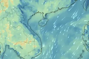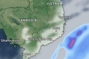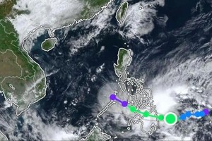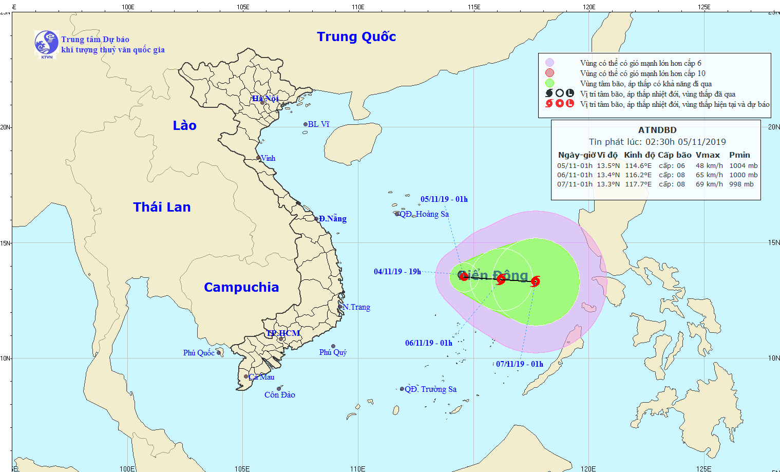
This morning, the dangerous zone was located at 13.5 degrees north latitude and 114.6 degrees east longitude, around 240 kilometers from Southwest Cay islet of the Spratly Islands.
The maximum winds near the center of the system gusted between 40 and 70 kilometers an hour.
In the next 24- 48 hours, the tropical depression will slowly move eastward with its speed of around 5 kilometers per hour, and then it is forecast to intensify into a storm.
According to Vice Director of the weather agency Hoang Phuc Lam, then tropical low pressure system would able to change its direction towards the mainland of Vietnam on November 7.
The bad weather is warned for the middle of the East Sea including the northern part of the Spratly Islands under influence of the tropical depression in combination with powerful operation of cold air mass.


