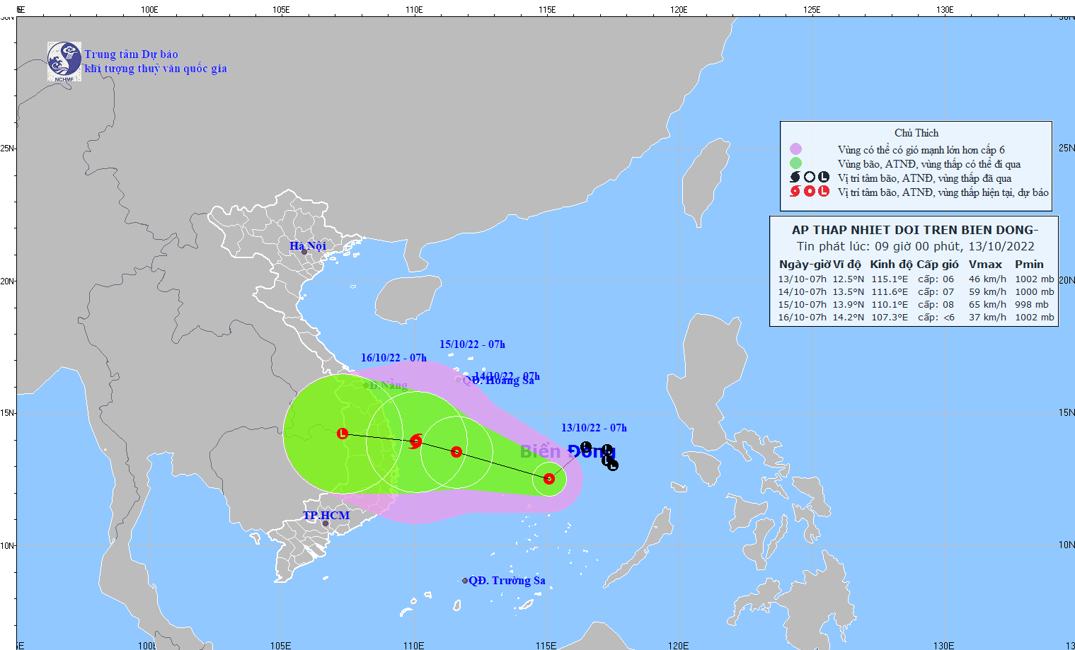
The path of tropical depression in next hours
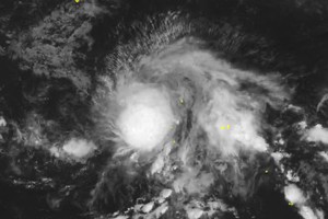
Specifically, the tropical depression was at 12.5 degrees north latitude and 115.1 degrees east longitude in the middle of the East Sea, and located at around 180 kilometers north far from the Southwest Cay islet of the Spratly Islands with gale of 39-49 kilometers per hour.
In the next 24-48 hours, the system is expected to move west-northwest with a speed of around 15 kilometers per hour, and continues to develop into a storm affecting the middle of the East Sea, the waters from Quang Tri to Phu Yen.
Under the impact of the tropical depression, the Mid-Central, South- Central and Central Highlands regions will suffer thundery downpours. Localities from Quang Tri to Quang Ngai, Kon Tum and Gia Lai will brace for intense rainfalls between 200 mm and 600 mm.
Low-lying areas and mountainous localities are required to prevent risks of flash floods, landslides, cyclones, lightning and sustained winds.
Meteorologists warned hazard for big waves and gale for almost all vessels.