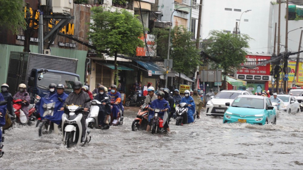
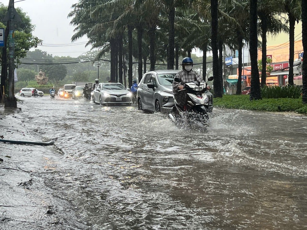
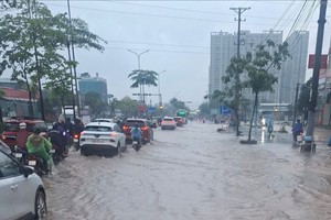
Water levels on Lam Van Ben, Tran Xuan Soan and Nguyen Van Linh streets, as well as several nearby roads, reached 20-30 centimeters, with floodwater in some areas rising almost halfway up motorcycle wheels. In several locations, water levels rose rapidly, affecting both traffic and daily activities.
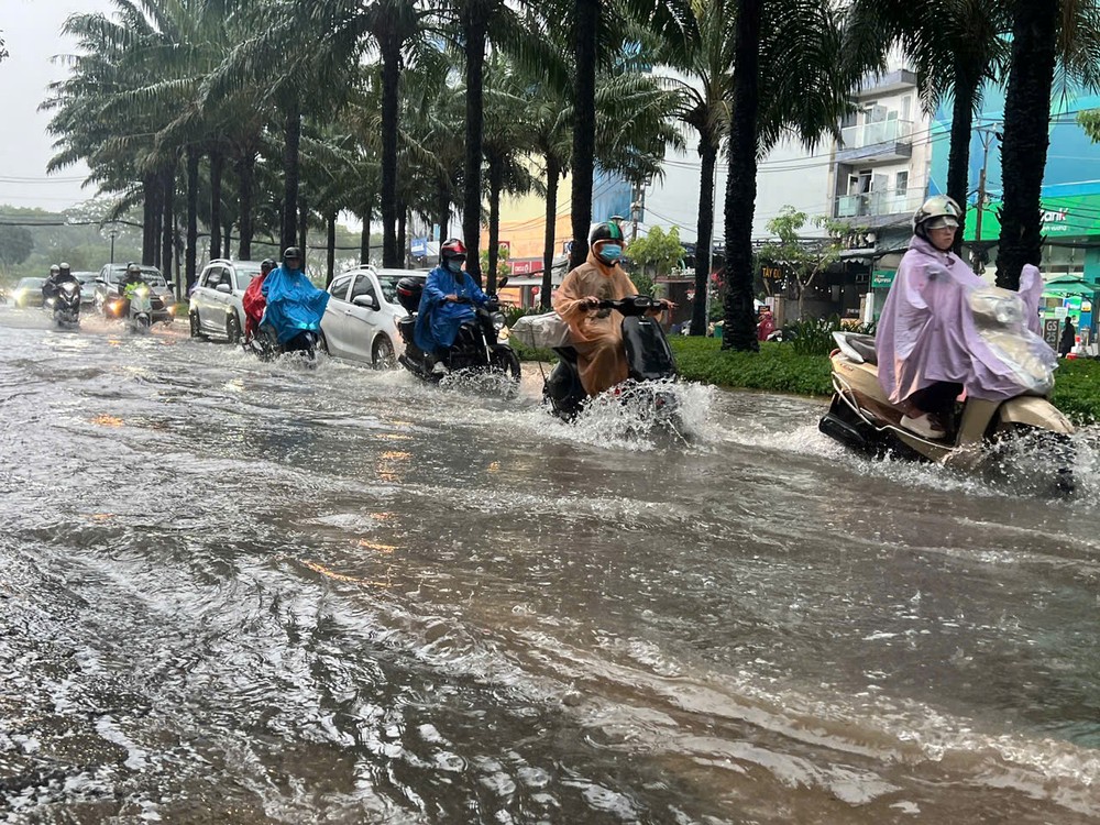
According to the Ho Chi Minh City Department of Construction, 116 locations and roads across the city have been identified as being at risk of flooding caused by heavy rain and high tides.
Of these, 71 roads are considered vulnerable to rainfall-induced flooding. The department classifies 11 as facing a low risk, 37 a moderate risk, and 23 a high risk of inundation.
The roads on the warning list include Vo Van Kiet, Ho Hoc Lam, Nguyen Van Khoi, Le Duc Tho, Pham Van Chieu, Phan Huy Ich, Phan Van Hon, Nguyen Van Qua, Tan Hoa Dong and National Highway 50.
Flood depths are generally expected to range from 10 to 20 centimeters, although water may take more than 30 minutes to recede at some locations.
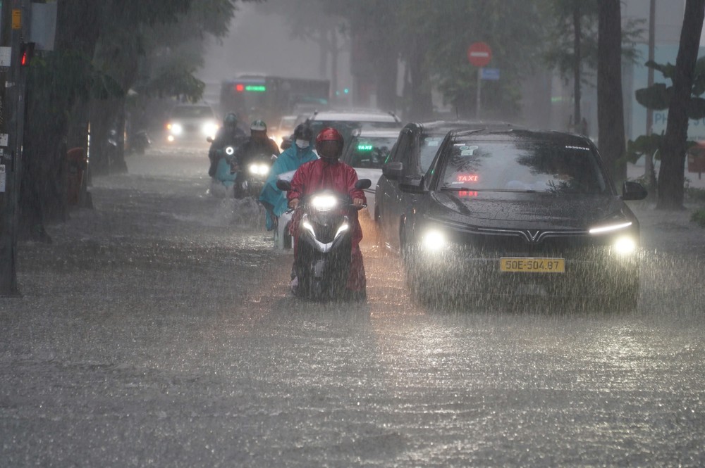
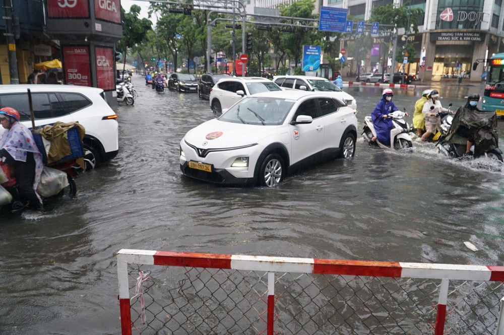
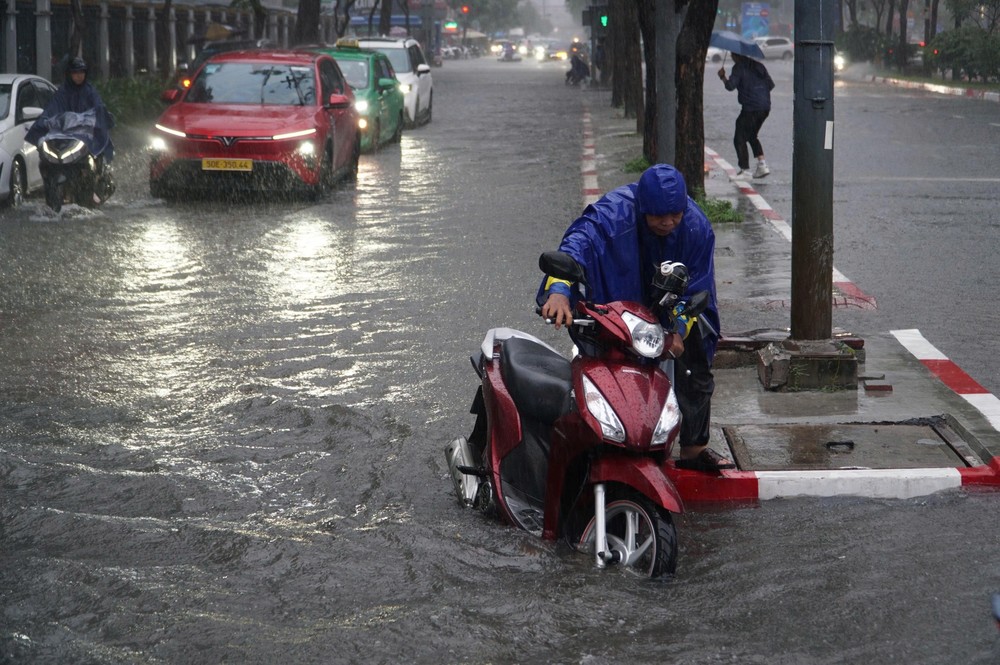
Several roads, including Quoc Huong, Thao Dien, Nguyen Duy Trinh, Nguyen Van Huong, Duong Dinh Hoi, Do Xuan Hop, Le Van Viet, National Highway 13, Dang Thi Ranh, Duong Van Cam, Ho Van Tu, To Ngoc Van, Kha Van Can, Hiep Binh and Provincial Road 43, are forecast to experience deeper flooding of between 30 and 50 centimeters.
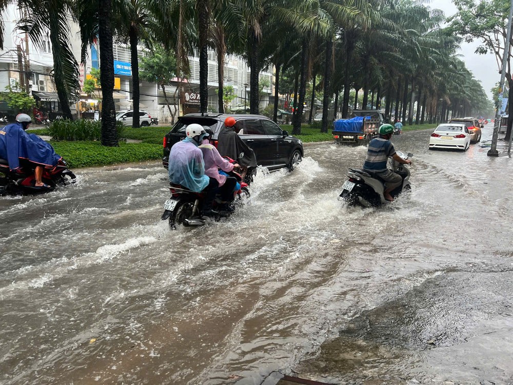
Some sections of Dang Thi Ranh and Le Thi Hoa streets, Provincial Road 43 and National Highway 13 are expected to face particularly severe inundation, with floodwater receding slowly.
Several other areas, including sections of Provincial Road 743A, Cach Mang Thang 8 Street and National Highway 1K, as well as parts of An Phu, Di An, Dong Hoa, Tan Dong Hiep and Thu Dau Mot, are also on the list of locations at risk of rainfall-induced flooding. Water levels at some points could reach 30-50 centimeters.
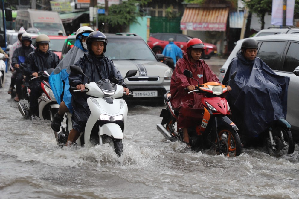
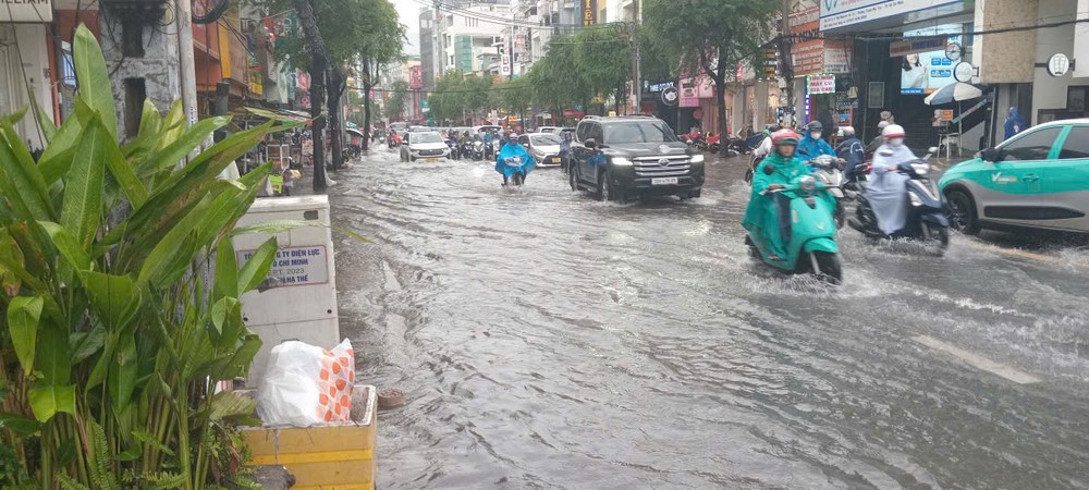
Thi Sach, 30 Thang 4 and 2 Thang 9 streets, along with National Highway 51, are also vulnerable to flooding. Some locations could see water levels rise by 40-80 centimeters.
In addition to rainfall-related flooding, the authorities have identified numerous roads at risk from the combined effects of heavy rain and high tides.
Notable areas include sections of Binh Quoi, Tan Thuan, Phu Thuan, Nha Be and Binh Hung, where flood depths are forecast to reach around 30 centimeters, and water could take more than 60 minutes to recede.
City implements nine flood-control projects
Under a plan issued by Ho Chi Minh City in July 2026, authorities are accelerating the implementation and completion of nine flood-control projects with a combined investment of more than VND7.15 trillion (US$272 million).
The projects are intended to gradually address three of the city's 50 identified flooding hotspots where water levels reach at least 30 centimeters, and flooding lasts for more than 30 minutes.
Three projects, with a combined investment of more than VND1.342 trillion, have been designated for completion and are expected to help resolve flooding at two locations: Phan Van Hon Street and Binh Quoi Street.
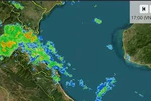
The Southern Regional Hydro-Meteorological Center has forecast that Ho Chi Minh City could continue to experience moderate to heavy rain, with isolated areas receiving torrential downpours, over the next 24-48 hours.
Rainfall totals are expected to range from 70 to 150 millimeters, with isolated areas receiving more than 150 millimeters.
Residents have been advised to remain alert to the risks of tornadoes, lightning, and strong gusts during thunderstorms.


)








)