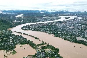
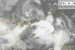
Water levels on the Dong Nai River continued to rise on Sep 10 after remaining above Alert Level 1 for several days, raising concerns over flooding and riverbank erosion in low-lying areas, according to the National Center for Hydro-Meteorological Forecasting.
The water level at Ta Lai station reached 112.53 meters, 0.03 meters above Alert Level 2 at 5 a.m. on Sep 10.
Forecasters said the river was expected to continue rising over the next six to 24 hours, posing a risk of flooding in low-lying riverside areas as well as landslides and erosion along rivers and streams across the Dong Nai River basin.
The warning comes after several days of heavy rain across parts of the Central Highlands and Southeastern region.
Over the past 24 hours, several monitoring stations recorded rainfall approaching or exceeding 90 millimeters. Nui Ba Hoa in Gia Lai Province reported 118.6 millimeters, while Xuan Loc in Dak Lak Province recorded 92.8 millimeters, and Hamlet 9 in Ia Toi Commune of Quang Ngai Province received 89.6 millimeters.
The National Center for Hydro-Meteorological Forecasting and the Southern Regional Hydro-Meteorological Center warned that heavy rain would persist from Sep 10 to 11 across the Central Highlands, eastern Lam Dong Province, and Southern Vietnam.
Rainfall during the period is forecast at 60-130 millimeters, with some areas likely to receive more than 180 millimeters.
Heavy rainfall within the Dong Nai River catchment could increase runoff into the river system, pushing water levels higher and heightening the risk of localized flooding and riverbank erosion.
)