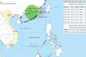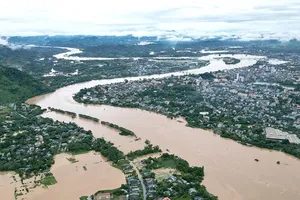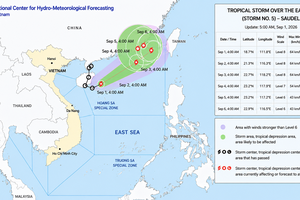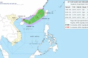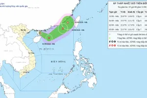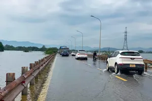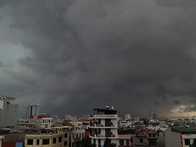
The National Civil Defense Steering Committee issued an urgent directive on September 8 requesting 21 coastal provinces and cities, stretching from northern Quang Ninh to southern An Giang, to prepare for a developing tropical depression that could intensify into a storm and trigger widespread heavy rainfall across the Central region.
Authorities instructed coastal localities to closely monitor the progression of the tropical depression and strong sea winds. Local agencies must provide timely warnings and guidance to vessel captains and shipowners operating at sea, enabling them to take proactive safety measures. Officials were also directed to strictly oversee marine traffic, particularly tourist boats in bays, coastal zones, and around islands, while maintaining constant communications to address emerging emergencies.
For the Central region, the National Civil Defense Steering Committee urged local authorities to review areas vulnerable to deep flooding, flash floods, and landslides, and to prepare evacuation plans for residents in high-risk zones. Local response forces are on standby to render assistance, while regional communications networks—especially grassroots broadcast systems—are broadcasting safety protocols regarding torrential rains, tornadoes, lightning, flash floods, landslides, localized flooding, and gales at sea.
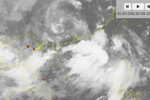
According to the Meteorological and Hydrological Administration, a tropical convergence zone stretching across the central region is expected to form over the East Sea starting September 9. Between September 12 and 13, a tropical depression is highly likely to develop over the central part of the East Sea and subsequently intensify into a storm. Meanwhile, the northern Gulf of Tonkin will see strong northeasterly winds reaching level 5 (29–38 km/h) to level 6 (39–49 km/h), with waves rising two to three meters high.
The interplay between incoming cold air and the tropical convergence zone is projected to unleash a prolonged spell of moderate to heavy rainfall across central provinces from September 10 to 17, carrying heightened risks of tornadoes, lightning, flash floods, severe landslides, and localized inundation.
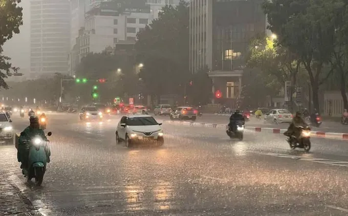
Ho Chi Minh City and the Southern region are forecast to experience showers today, September 9, with locally heavy rain. From September 10 to 11, rainfall is expected to increase in both coverage and intensity, with some areas likely to see very heavy rain.
The Southern Regional Hydro-Meteorological Station warned on the morning of September 9 that rainfall would increase across the Southern area. From noon through the afternoon and evening, rain is forecast over more than half of the region, with locally heavy downpours. The Southeastern region and the coastal areas of the Mekong Delta are expected to have a higher chance of rain.
In Ho Chi Minh City, the weather will be mostly cloudy on September 9. Scattered showers and thunderstorms are forecast in the late afternoon and evening, with locally heavy rain. Residents should be alert to localized flooding, tornadoes, lightning, and strong gusts during thunderstorms, particularly during the afternoon and evening rush hours.
The highest temperature in Ho Chi Minh City today is forecast at 31-33 degrees Celsius, while the highest temperature across southern Vietnam is expected to reach 34 degrees Celsius. Southwesterly winds will be at level 2 (6 to 11 km/h) – level 3 (12 to 19 km/h).
The Southern Regional Hydro-Meteorological Station also warned that weather conditions across southern Vietnam will change more noticeably from September 10 to 11, with rainfall increasing in both coverage and intensity. The region is expected to remain mostly cloudy, with widespread showers and locally heavy to very heavy rain.
The National Center for Hydro-Meteorological Forecasting said that today and tonight, the sea area from southern Khanh Hoa Province to Ho Chi Minh City will experience southwesterly winds at level 5, occasionally level 6, with gusts reaching level 7 (50–61 km/h) to level 8 (62–74 km/h). Waves are forecast at 2-3 m, resulting in rough seas.
On September 10, the sea area from Lam Dong Province to Ho Chi Minh City will continue to experience strong southwesterly winds similar to those forecast for September 9. Fishing and other vessels operating in the affected areas face risks from strong winds and high waves.