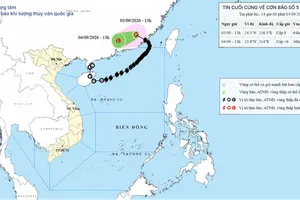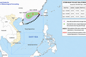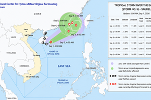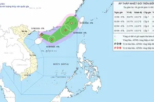
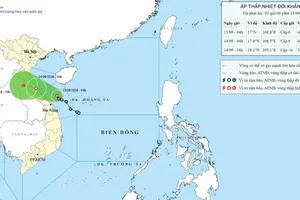
The National Center for Hydro-Meteorological Forecasting warned on the afternoon of September 13 that a tropical depression was over the waters off Quang Tri and was forecast to make landfall from Ha Tinh to Quang Tri tonight. Heavy rains will continue in central Vietnam before spreading to the Northern region.
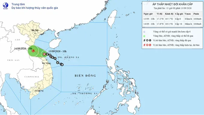
At 10 a.m. today, the center of the tropical depression was located at approximately 17.3 degrees north latitude and 107.7 degrees east longitude over the waters off Quang Tri, about 120 km east-southeast of Dong Hoi. Its strongest winds were at level 6 (39–49 km/h), with gusts reaching level 8 (62–74 km/h).
The meteorological agency warned that over the next 24 hours, the tropical depression would continue moving northwest. It is forecast to make landfall in areas from Ha Tinh to Quang Tri tonight, with winds at level 5 (29–38 km/h), reaching level 6 in coastal areas, with gusts up to level 8.
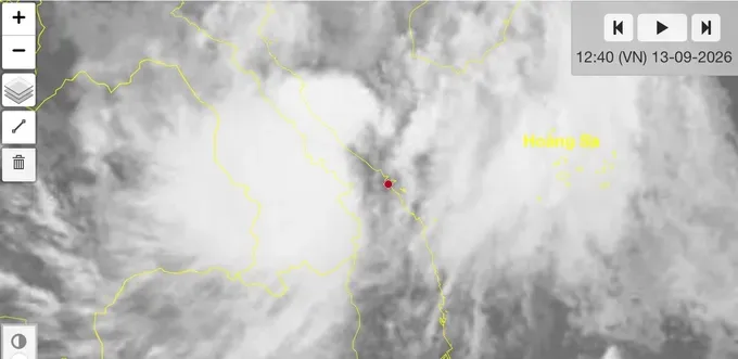
Previously, from the night of September 12 to noon on September 13, areas from southern Quang Tri to Da Nang recorded rainfall of 70–150 mm, with some locations receiving more than 250 mm. Rainfall reached 400 mm in A Luoi 5 in Hue City and 328 mm in Ta Rut in Quang Tri.
Today and tonight, areas from Ha Tinh to Hue City are forecast to receive 100–200 mm of rain, with isolated areas exceeding 350 mm. Thanh Hoa and Nghe An are expected to receive 40–70 mm, with some areas receiving up to 150 mm. On September 14, areas from Thanh Hoa to Quang Tri will continue to experience rainfall of 100–200 mm, with isolated areas exceeding 350 mm.
From early September 14 through the end of September 16, the midland and delta areas of northern Vietnam are forecast to receive 100–250 mm of rain, with some areas exceeding 300 mm.

The National Center for Hydro-Meteorological Forecasting said water levels in rivers from Quang Tri to Hue City are currently rising. The Kien Giang River is 1.04 meters above Alert Level 1, while the Thach Han River is 0.21 meters below Alert Level 2. The Bo and Huong rivers are above Alert Level 1.
From now through September 16, rivers from Thanh Hoa to Hue City are likely to experience flooding. Water levels in the Ngan Sau and Ngan Pho rivers could reach Alert Level 2 to Alert Level 3. Other rivers are generally expected to reach Alert Level 1 to Alert Level 2, with some exceeding Alert Level 2.
The meteorological agency warned of a high to very high risk of flash floods and landslides over the next six hours in around 140 communes and wards across Ha Tinh, Quang Tri, Hue City, Da Nang, and Quang Ngai. The areas at greatest risk are mainly mountainous areas, steep slopes, and locations that have experienced prolonged heavy rainfall.
Some damage caused by heavy rains and response efforts to the tropical depression in central Vietnam as of the morning of September 13:
Hue City: Two locations along National Highway 49, at Km 67+800 and Km 75+830, have experienced landslides on the uphill slopes. The total volume of displaced soil and rocks is estimated at around 150 cubic meters.
Da Nang City: A total of 101 households in Hung Son, Tay Giang, and Dong Giang communes were identified as being at high risk of landslides. Local forces assisted residents in moving to safe shelters.
Quang Tri: Ten road, bridge, and low-water crossing locations in La Lay, A Doi, Dakrong, Truong Son, and Truong Ninh communes remain flooded and locally cut off, with water depths of 0.3–0.7 meters. Local authorities continue to put up warning signs and prevent people and vehicles from entering dangerous areas.
(Source: Department of Dyke Management and Disaster Prevention and Control, Ministry of Agriculture and Environment)



)