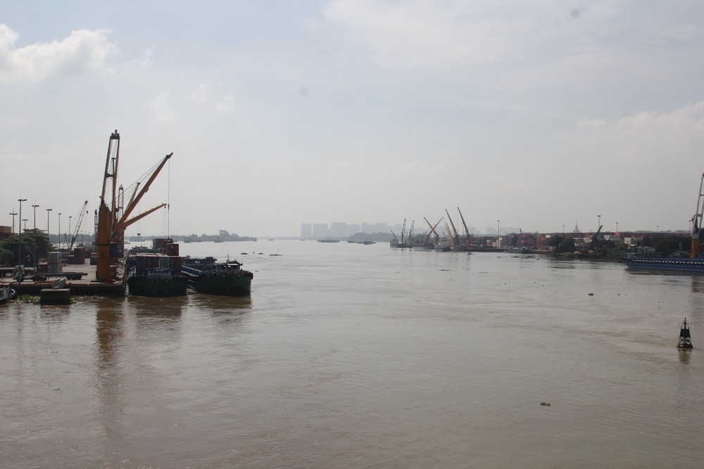
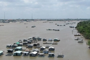
The Dong Nai River at the Ta Lai monitoring station in Dong Nai City stood at 112.51 meters, 0.01 meters above alert level 2, at 7 a.m. on September 22. Water levels are expected to fluctuate above the alert level 2 threshold over the next 24 hours.
Authorities have warned of flooding in low-lying areas along the river and riverbank erosion across the Dong Nai River basin. Rising water could disrupt inland waterway transport, aquaculture, agricultural production, and other economic and daily activities.
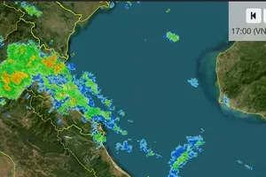
The National Center for Hydro-Meteorological Forecasting and the Southern Regional Hydro-Meteorological Center said September 22-24 would mark the peak of the current rainy spell across the Southern region, the Central Highlands and the South Central region.
Moderate to heavy rain and thunderstorms are forecast in western parts of Dak Lak and Lam Dong provinces and across southern Vietnam, with isolated areas receiving more than 150 millimeters of rain on September 22. Similar conditions are expected on September 23, with some locations potentially recording rainfall exceeding 100 millimeters within three hours.
The prolonged rainfall is also raising the prospect of flooding on rivers from Hue City to Lam Dong Province between September 22 and 25. Most rivers in the area are currently below alert level 1, although the La Nga River at the Ta Pao station has reached 119.34 meters, or 0.34 meters above alert level 1.
During the coming flood event, river levels in Hue City, along smaller rivers and streams, and in the upper reaches of major rivers from Da Nang City to Lam Dong could rise to alert levels 1-2.
Downstream sections of the Vu Gia-Thu Bon, Tra Khuc, Kon-Ha Thanh, Ba, Sesan, and Srepok rivers are expected to fluctuate around alert level 1.
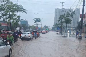
Meteorological authorities have warned of a high risk of flooding in low-lying areas, riverside communities and urban areas, as well as flash floods and landslides on steep slopes from Hue City to Lam Dong.

)







)