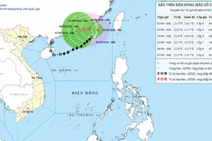
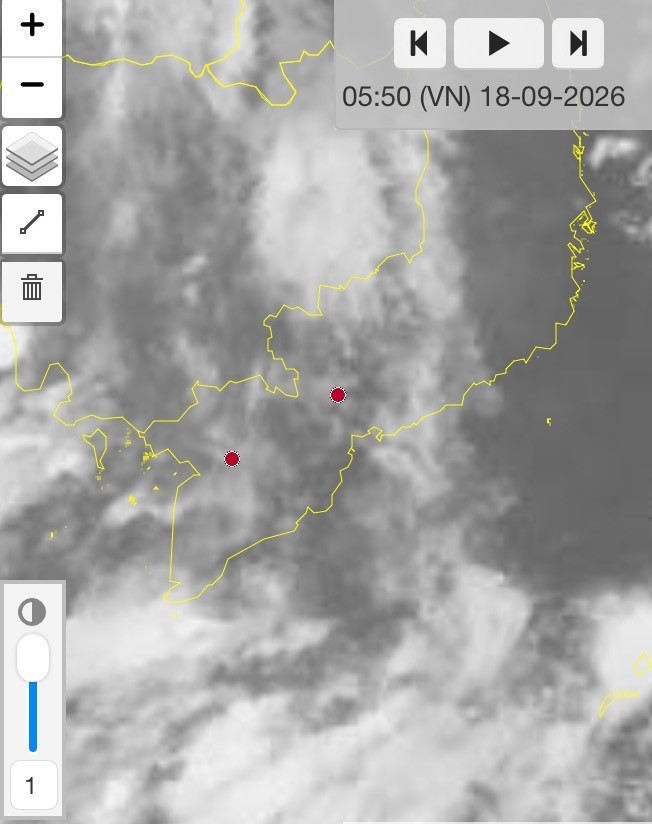
According to the Southern Regional Hydro-Meteorological Center, a low-pressure trough is shifting southward and strengthening into an intertropical convergence zone. From September 18 to 24, the system is expected to remain at relatively low latitudes, extending across the southern East Sea and Southern Vietnam.
An air mass over the western Pacific is also expanding westward, pushing the convergence zone further south.
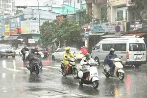
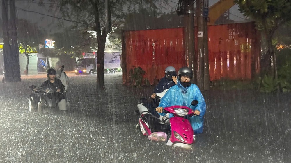
Southern Vietnam is forecast to remain mostly cloudy with only intermittent sunshine. Rain could begin as early as the morning before becoming more widespread from midday through the afternoon and evening, with many areas facing moderate to heavy rain and isolated downpours.
In Ho Chi Minh City and the Southeastern region, rainfall is expected to be concentrated mainly in the afternoon and evening. Northern parts of Ho Chi Minh City and coastal areas could see particularly heavy rain.
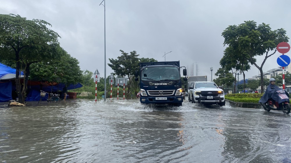
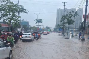
Authorities have warned of localized flooding in low-lying parts of Ho Chi Minh City, especially in areas with poor drainage. Lam Dong and Dong Nai provinces face risks of flash floods along small rivers and streams, as well as landslides on steep slopes.
Meanwhile, the National Center for Hydro-Meteorological Forecasting has warned of rough weather over the southern East Sea.
Scattered showers and thunderstorms are forecast, with possible tornadoes and wind gusts reaching Level 7-8, on September 18. Westerly to southwesterly winds are expected at Level 4-5, while waves could reach 1.5-2.5 meters.
The latest forecast extends the expected duration of the wet spell. Meteorological agencies had previously projected the heaviest rainfall to occur from September 18 to 21, but updated assessments now indicate that unsettled conditions could continue through September 24.






)