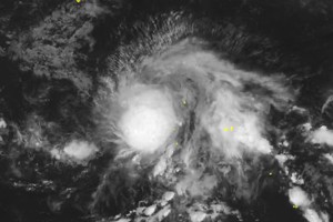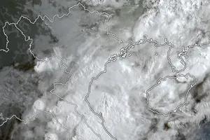
The National Center for Hydro-meteorology Forecasting informed that the eye of the newly-formed storm was at around 13.1 degrees north latitude and 118.2 degrees east longitude, at around 200 kilometers far from Philippines’ Palawan Island with a sustained wind of level 10 at 4AM of Wednesday.
Typhoon Noul is forecast to move faster and result in heavy downpours in Da Nang City.
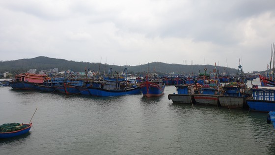
In order to actively cope with natural disasters ahead, the People’s Committee of Da Nang City suggested the Da Nang Municipal Border Guard Command and the Coastal Information Station in Da Nang City to immediately call all vessels operating in the East Sea to leave damaged zones, timely provide information related to path map of the fifth storm to boats owners, ask all vessels to urgently anchor at safer locations.
Amid the current complicated weather condition, the Da Nang Municipal Border Guard Command has banned all ships going out to sea, carried out counting the number of fishing vessels on sea as well as regularly kept in touch with ship owners to instruct them to move out of the storm-hit zones.
It is necessary to re-check residential areas near the landside and flashflood- prone localities, ready for evacuating people to safety destinations but still conducting the Covid-19 prevention and control measures according to the regulations.

