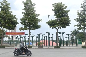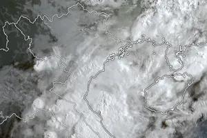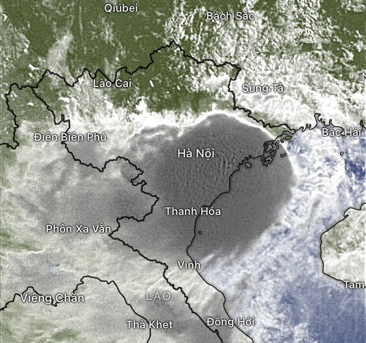
Many places in the North have started to rain. Today, the Northern region is forecasted to experience heavy rain all day.
From about 3 a.m. this morning, July 23, the Hai Ha - Tien Yen area (Quang Ninh) began to experience severe winds. It also started raining in Hanoi.
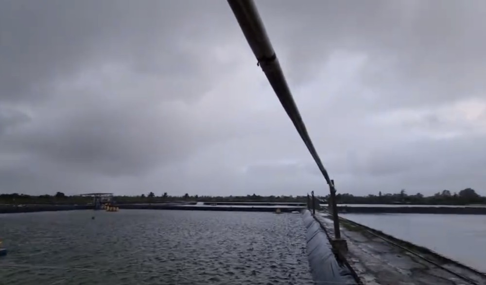
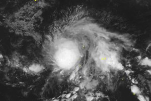
The National Center for Hydro-Meteorological Forecasting (NCHMF) stated that around 5 a.m. this morning, the eye of Typhoon No.2 (Prapiroon) made landfall. In Dam Ha (Quang Ninh), winds of level 6, gusting to level 9, were recorded.
Residents on Co To Island and Quan Lan Island in Quang Ninh Province reported continuous strong winds accompanied by rain. In Cam Pha City (Quang Ninh), some areas experienced power outages. Heavy rain of 173mm was recorded in Ha Long City.



In other places, such as Hai Phong City and Thai Binh Province, there were hardly any strong winds when the storm hit land in Quang Ninh. Meteorological experts warn that while there was very little rain before the storm, heavy post-storm rain is expected in the Northeast region today.
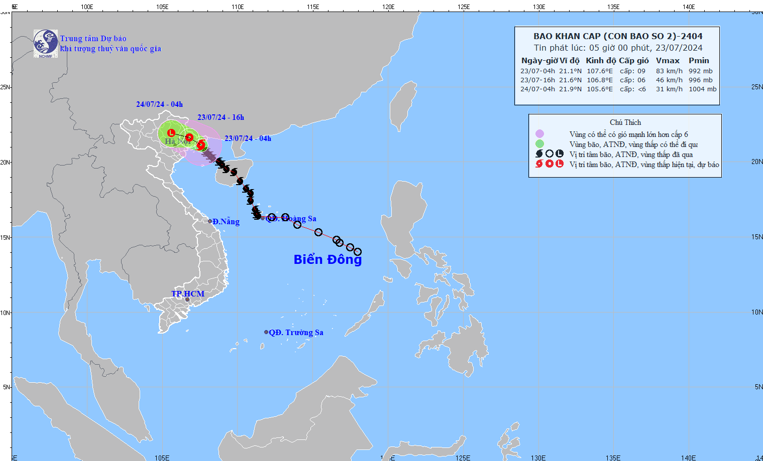
At 5 a.m., the NCHMF reported that due to the impact of Typhoon No.2, Bach Long Vi Island experienced level 10 winds, gusting to level 12; Co To Island (Quang Ninh) had level 6 winds, gusting to level 9; Cua Ong (Cam Pha - Quang Ninh) had level 6 winds, gusting to level 7; and Dam Ha (Quang Ninh) experienced level 6 winds, gusting to level 9.
In the coastal areas of the Northeast region, there has been moderate to heavy rain, with some places experiencing torrential rain, such as Cat Ba (Hai Phong) with 215mm, and Van Don (Quang Ninh) with 108mm.
Earlier, at 4 a.m., the storm's center was located at approximately 21.1 degrees North latitude and 107.6 degrees East longitude, off the coast of Quang Ninh and Hai Phong. The storm's intensity decreased to levels 8-9, gusting to level 11, moving Northwest at about 10 km/h.



Last night, around 8 p.m. on July 22 (Vietnam time), the Japan Meteorological Agency and the United States Navy’s Joint Typhoon Warning Center warned that Typhoon No.2 had strengthened to level 12, gusting to level 14 as it approached land. However, the NCHMF’s updates from 8 p.m. to 10 p.m. on July 22 only confirmed the storm was at level 10, gusting to level 13.
By 8 a.m. on July 23, the NCHMF reported that Typhoon No.2 had weakened into a tropical depression as it approached the coastal areas of Quang Ninh and Hai Phong provinces.
Several global storm warning and meteorological forecasting centers also confirmed that Typhoon Prapiroon (known as Typhoon No.2 in Vietnam) had decreased to level 7. Over the past two hours, the storm and tropical depression have remained almost stationary, causing torrential rain in Quang Ninh Province, particularly in Ha Long City and Cam Pha City.
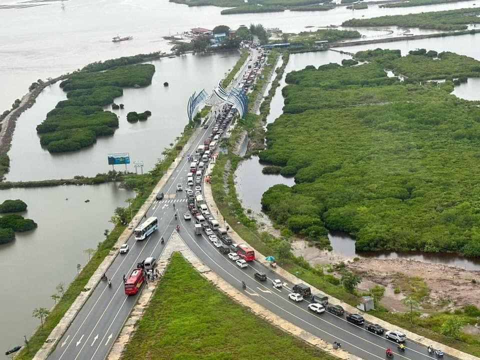
In the Hon Gai area of Ha Long City, many trees have fallen, blocking roads and causing traffic congestion during rush hour at the Cuu Hoa - Cao Thang T-junction. The National Highway 18 to Quang Hanh Ward (Cam Pha City) is flooded, forcing many cars to turn back to find alternative routes.
As of 9 a.m. on July 23, the National Steering Committee for Natural Disaster Prevention and Control reported that Typhoon Prapiroon (now downgraded to a tropical depression) caused significant damage in Quang Ninh Province. The storm sank one cement boat under 15 meters and a small speedboat at their moorings on Co To Island.
Currently, 1,959 tourists are stranded on the tourist islands of Quang Ninh Province, including Co To, Quan Lan-Minh Chau, Van Don, and Ngoc Vung. On Cat Ba Island (Hai Phong City), there are 3,885 stranded tourists or those choosing to stay, including 435 international tourists and 3,450 domestic tourists. These tourists are safe and have been informed about the storm and heavy rain conditions.
According to the Border Guard Command's report updated by 6 a.m. on July 23, maritime border forces have accounted for 47,676 fishing vessels with 192,818 fishermen on board. These vessels are aware of the storm's location and movement and are taking measures to avoid or seek shelter. No damage or incidents involving fishing vessels have been reported so far. Additionally, the five provinces and cities of Quang Ninh, Hai Phong, Thai Binh, Nam Dinh, and Ninh Binh remain under a temporary maritime ban.
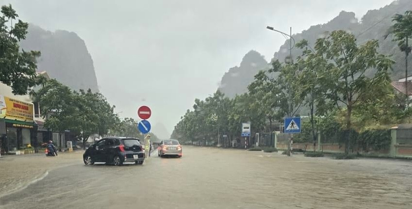




The NCHMF warns that on the afternoon of July 23, there will be high tides along the coast from Quang Ninh to Nam Dinh provinces, with water levels at Hon Dau (Hai Phong) expected to reach 3.8-4 meters and at Cua Ong (Quang Ninh) 4.6-4.8 meters. Combined with heavy rain, this could slow down flood drainage in rivers and cause flooding in low-lying coastal and riverbank areas.
From early morning on July 23 to the end of July 24, the Northeast region is expected to receive 100-200 mm of rain, with some areas experiencing over 300 mm. Other parts of Northern Vietnam and Thanh Hoa will see moderate to heavy rain, ranging from 50-100 mm, with some areas receiving more than 200 mm.

