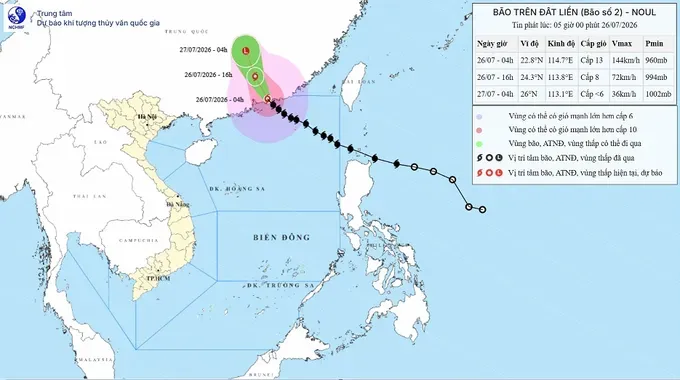
According to the National Center for Hydro-Meteorological Forecasting, storm Noul moved deep into southern mainland China on Sunday morning and no longer poses a direct threat to Vietnam.
However, meteorologists warned that the storm's circulation has altered wind patterns, triggering contrasting weather conditions between the Northern and Southern regions in the coming days.
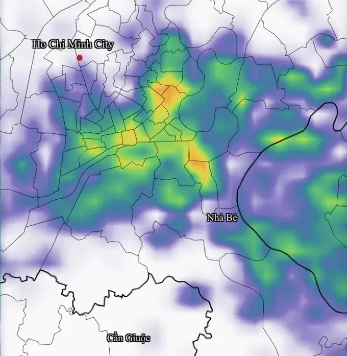
The Southern region and the Central Highlands will remain the hardest-hit areas nationwide. Strengthening southwest monsoons are channeling substantial moisture from the western seas inland, fueling widespread downpours and thunderstorms. Several southern localities are expected to see rain starting as early as Sunday morning.
Precipitation is projected to intensify from noon through the afternoon and evening, with moderate to heavy rainfall in many areas. Ho Chi Minh City and provinces across the Southeastern region face an ongoing risk of heavy downpours in the late afternoon and evening.
Meanwhile, the Northern region has seen an end to its recent rainy spell, transitioning to clearer and drier conditions. Scattered showers remain confined to a few Northwestern provinces, including Lai Chau, Dien Bien, and parts of Lao Cai and Son La. The rest of the region will experience intermittent sunshine and hot, humid weather during the day.
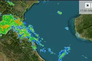
In the Central area, scattered showers and thunderstorms are expected this afternoon and evening, primarily affecting the western areas stretching from Thanh Hoa to Quang Ngai provinces. Daytime will bring sunny conditions, with localized heatwaves in some areas.
Meteorological agencies forecast that rainfall will likely return to the North starting the night of July 27, driven by a newly developing low-pressure trough interacting with the remnants of storm Noul. From July 27 onward, mountainous and midland areas in the Northern region should brace for moderate to heavy rain accompanied by severe thunderstorms.
Typhoon Noul made landfall in southern Guangdong, China, before weakening inland
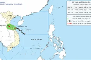
Typhoon Noul made landfall along the coastal area of southern Guangdong province, China, at 4:00 a.m. on Sunday, July 26, packing maximum sustained winds of 118–149 km/h (Beaufort scale 12–13) with gusts up to scale 16 (184 to 201 km/h), according to the National Center for Hydro-Meteorological Forecasting.
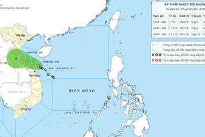
Moving northwest at approximately 20 km/h, the storm is projected to push further inland into Guangdong through 4:00 p.m. today, weakening to level 8 (62- 74 km/h) with gusts of level 10 (89 – 102 km/h).
By 4:00 a.m. on Monday (July 27), the storm is expected to downgrade into a tropical depression over southern Hunan province before further dissipating into a low-pressure area. Meteorological authorities confirmed that typhoon Noul no longer poses a direct threat to mainland Vietnam.
)










)