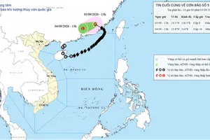
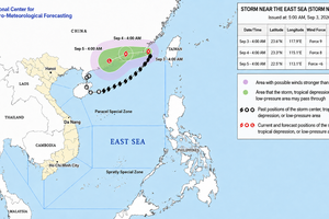
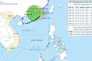
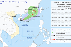
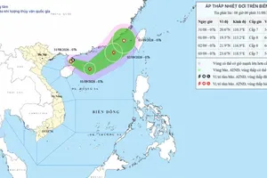
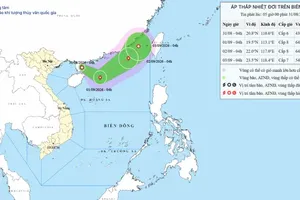
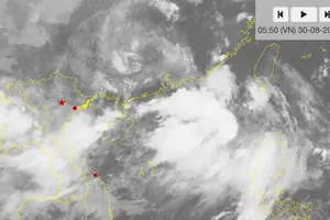
At 1 a.m. on July 25, the storm's center was located at about 20.1 degrees North latitude and 119.3 degrees East longitude, over the northeastern waters of the East Sea, about 650 kilometers southeast of Hong Kong, China.
Maximum sustained winds near the center reached Force 10 (89–102 kilometers per hour), with gusts up to Force 12. The storm was moving west-northwest at around 25 kilometers per hour.
Over the next 24 hours, Noul is forecast to continue moving west-northwest at 20–25 kilometers per hour while intensifying. By 1 a.m. on July 26, its center is expected to be over the eastern waters of the northern East Sea, about 130 kilometers east-southeast of Hong Kong, with maximum winds of Force 11–12 and gusts up to Force 14.
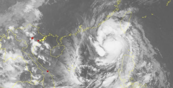
The storm is then forecast to turn north-northwest and move at 15–20 kilometers per hour before making landfall in Guangdong Province. By the morning of July 27, it is expected to weaken to Force 8 with gusts up to Force 10, before downgrading to a tropical depression and later a low-pressure area over land.
Forecasters said Noul has more than an 80 percent probability of making landfall in Guangdong and is unlikely to directly affect Vietnam's mainland.
Under the storm's influence, the northeastern waters of the East Sea are expected to experience winds of Force 6–7, strengthening to Force 8–10. Areas near the storm's center will see winds of Force 11–12 with gusts up to Force 14, while waves are forecast to reach 5–7 meters, producing very rough seas.