Overnight and early on July 15, parts of the Central Highlands recorded moderate to torrential rain. Notable rainfall totals included 80.4mm at Mo Rai in Quang Ngai Province, 72.6mm at Ia Grai 3 Hydropower Plant, and 64mm at Ia Grai 1 Hydropower Plant, both in Gia Lai Province.
Forecasters said the Central Highlands and Southern region are likely to receive 10-30mm of rain on July 15, with isolated locations exceeding 80mm. The heaviest downpours are expected during the afternoon and evening. Thunderstorms may be accompanied by tornadoes, lightning, hail, and strong gusts. Localized flooding in low-lying areas, flash floods along small rivers and streams, and landslides in mountainous terrain remain significant risks.
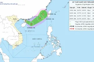
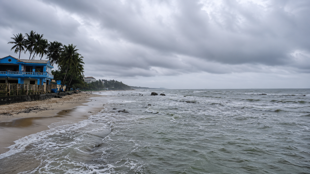
At sea, strong southwest winds are forecast to affect waters stretching from Dak Lak to Ho Chi Minh City, as well as the central East Sea and the western part of the southern East Sea, including waters west of the Truong Sa (Spratly) Archipelago. Winds are expected to reach level 5, occasionally level 6, with gusts of level 7-8. Wave heights will range from 1.5 to 3.5 meters, creating rough sea conditions.
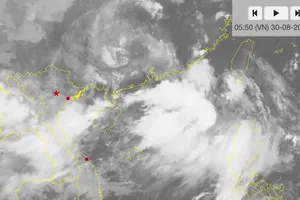
Showers and thunderstorms are also forecast across waters from Lam Dong to Ca Mau, from Ca Mau to An Giang, the Gulf of Thailand, and other parts of the East Sea. These storms could generate waterspouts, level 7-8 wind gusts, and waves exceeding two meters.
The weather agency warned that strong southwest winds and rough seas are expected to persist through July 16. Fishing vessels and other ships operating in affected waters have been urged to closely monitor weather updates and take precautions against strong winds, high waves, waterspouts, and severe thunderstorms.


)