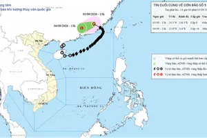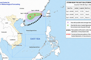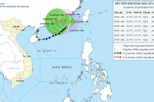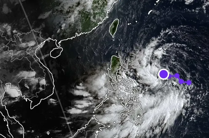
The National Center for Hydro-Meteorological Forecasting said that a low-pressure area east of the Philippines is likely to strengthen into a tropical depression on July 23.
Between July 24 and 25, the system has a 70-percent chance of intensifying into a storm. If it continues to strengthen, it is expected to move into the northeastern part of the East Sea between July 25 and July 26, with a 60–70 percent probability.
Meanwhile, the Southern Regional Hydro-Meteorological Center forecast two distinct weather phases for the Southern region from July 23 to July 29.
During July 23 and July 24, the region will be influenced by the southern section of a low-pressure trough linked to the low-pressure area east of the Philippines, combined with a moderate southwest monsoon. Sunny conditions are expected during the day, followed by widespread showers in the late afternoon and evening, with moderate rainfall in some areas. Daytime temperatures will range from 32 degrees Celsius to 35 degrees Celsius, with some places exceeding 35 degrees Celsius.
From July 25 to July 29, the low-pressure trough stretching across central Vietnam is forecast to strengthen and connect with a tropical cyclone east of the Philippines. The Southern Regional Hydro-Meteorological Center said the system is likely to develop into a storm and move northwestward toward the northeastern part of the East Sea.
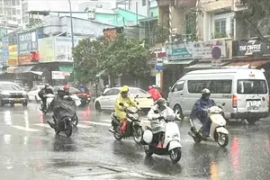
As a result, the strengthening southwest monsoon is expected to bring widespread rainfall across the Southern region. Many areas are likely to experience moderate rain, while localized heavy to very heavy downpours accompanied by thunderstorms are forecast. Residents are advised to remain alert for whirlwinds, lightning and strong wind gusts during thunderstorms.
Rainfall is expected mainly from midday through the evening, as well as overnight and in the early morning. Increased cloud cover and persistent rain are forecast to lower daytime temperatures by around 2–3 degrees Celsius, bringing cooler weather to the region.
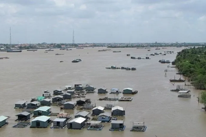
Meteorologists warned that the heavy rain will coincide with rising high tides toward the end of July, increasing the risk of flooding in low-lying and riverside areas, particularly in the Mekong Delta. Water levels are forecast to reach about 2.1 meters at Tan Chau, 2.2 meters at Chau Doc, and 1.55 meters at Can Tho by the end of the month.
For agricultural production, weather authorities advised farmers to take advantage of the relatively dry conditions on July 23 and July 24 to harvest summer-autumn rice before heavier rainfall sets in.







)