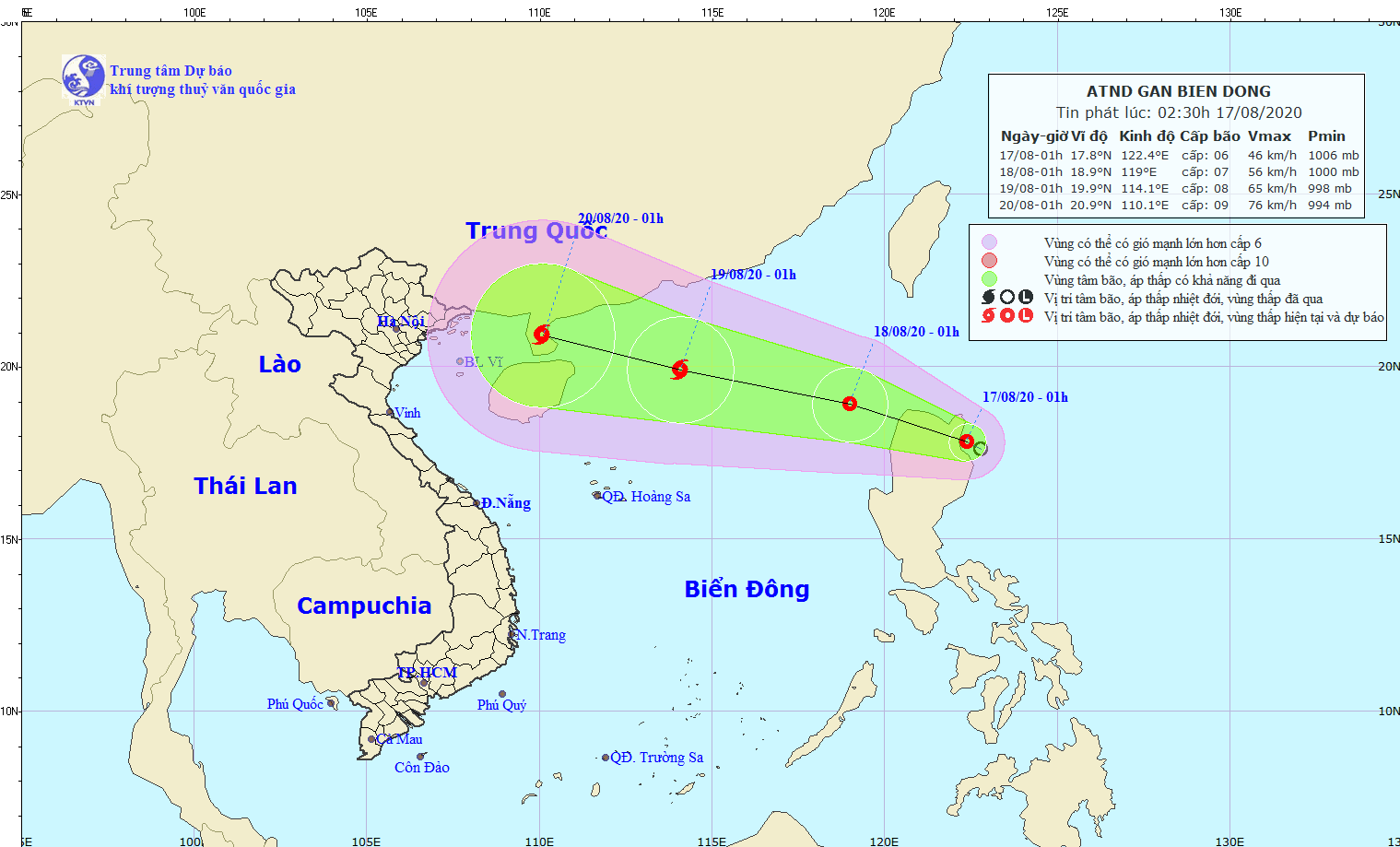
Last night, meteorologists watched a newly- formed tropical depression off the Philippines’ Luzon Island.
In next 24 hours, the tropical depression will move west- northwestward at a maximum speed of 10 to 15 kilomters per hour and enter the North- East Sea.
By 1AM on August 18, the system will be likely to churn towards the Luzon Island’s northward with the strongest winds of 40-60 kilomters an hour near the center.
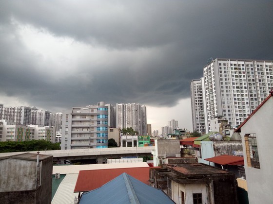
All vessels are heading into huge risks of blustery winds and cyclones in the East Sea.
The forecasters issued a formation forecast of the fourth storm in the East Sea within next 24-48 hours.
The new storm will be centered at 400 kilomters far from north- northwestward of the Paracel Islands with peak winds of up to 75 kilometers an hour.
The hydro-meteorological forecast and warning centers in Asia-Pacific region also stated that the tropical depression would develop into this year’s fourth storm hitting the East Sea.


