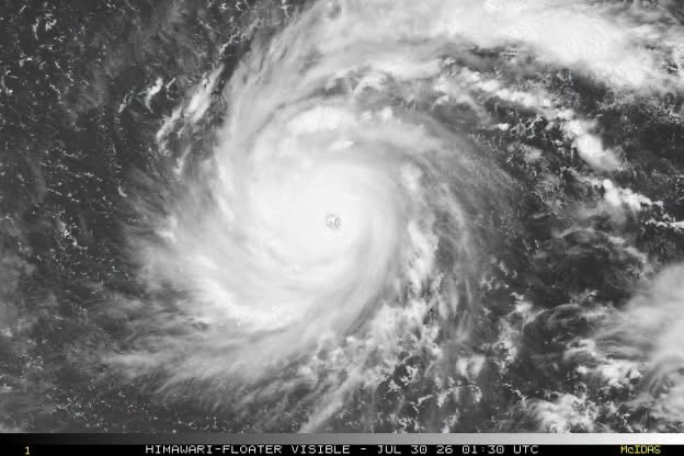
Dolphin's center was located at around 16.4 degrees North latitude and 165.8 degrees East longitude, nearly 5,000 km East of Luzon in the Philippines, at 7 a.m. on July 30.
Dolphin is the fourth super typhoon to develop over the Northwest Pacific in 2026, following Sinlaku, Mekkhala, and Bavi.
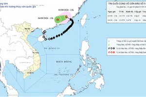
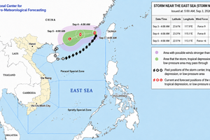
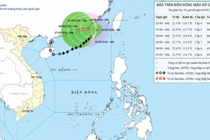
The storm is forecast to move west-northwest at about 20 km/h over the next one to three days before turning west and accelerating to 20-25 km/h toward China's Fujian and Zhejiang provinces.
Based on current data and forecast models, the weather agency said Dolphin was not expected to enter the East Sea or directly affect the region through August 4. However, its exceptional strength could increase winds over the sea in the coming days.
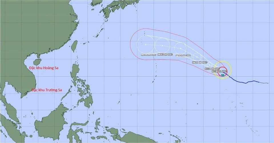
From around August 5, as Dolphin approaches the northern part of Taiwan, its circulation is expected to strengthen southwesterly winds over the southern East Sea.
On August 6-7, southwesterly winds across much of the northern, central, and southern East Sea, including the Hoang Sa and Truong Sa archipelagos, could reach levels 6-7, with waves of 2-4 meters and very rough seas.
The National Center for Hydro-Meteorological Forecasting said it was closely monitoring Dolphin and would continue updating forecasts and warnings as the storm develops.









)