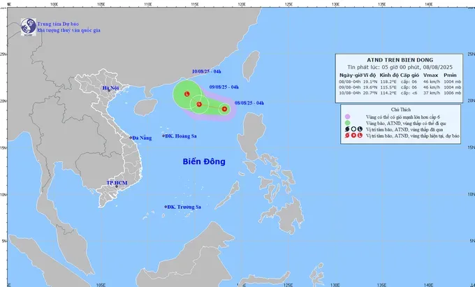
As updated, at 4:00 a.m. on August 8, the center of the tropical depression was located near latitude 19.1 degrees North latitude and 118.2 degrees East longitude over the northeastern waters of the East Sea.
Maximum sustained winds near the center were measured at level 6 (39–49 kilometers per hour), with gusts reaching level 8 (62-74 kilometers per hour).
The system is moving west-northwest at 10–15 kilometers per hour.
However, meteorologists forecast that the tropical depression will downgrade into a low-pressure area within the next 48 hours and is unlikely to affect Vietnam’s mainland significantly.
Meteorologists also forecast that this morning, the Northwest region will remain mostly cloudy, with scattered showers over Dien Bien and Lai Chau provinces.
In contrast, the cloud cover is forecast to decrease in the Northeastern region, accompanied by rising temperatures, while early sunshine is anticipated across Central and Southern Vietnam.
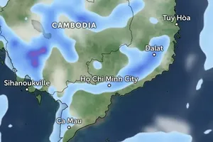
By this afternoon, hot and humid conditions will intensify across the North and Central regions, while the Central Highlands and Southern Vietnam are likely to experience scattered thunderstorms, similar to yesterday’s weather patterns.


)


