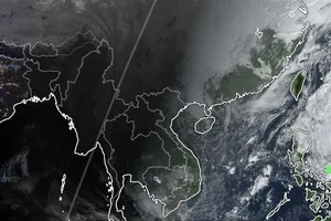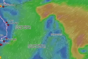
The National Center for Hydro-Meteorological Forecasting, on the morning of August 18, reported that the tropical depression had entered and was active over the Gulf of Tonkin, packing winds of 39–61 kph (levels 6–7), with gusts up to 75 kph (level 9). The system is causing dangerous conditions at sea and triggering heavy rains along the Northern and North-Central coastal provinces.
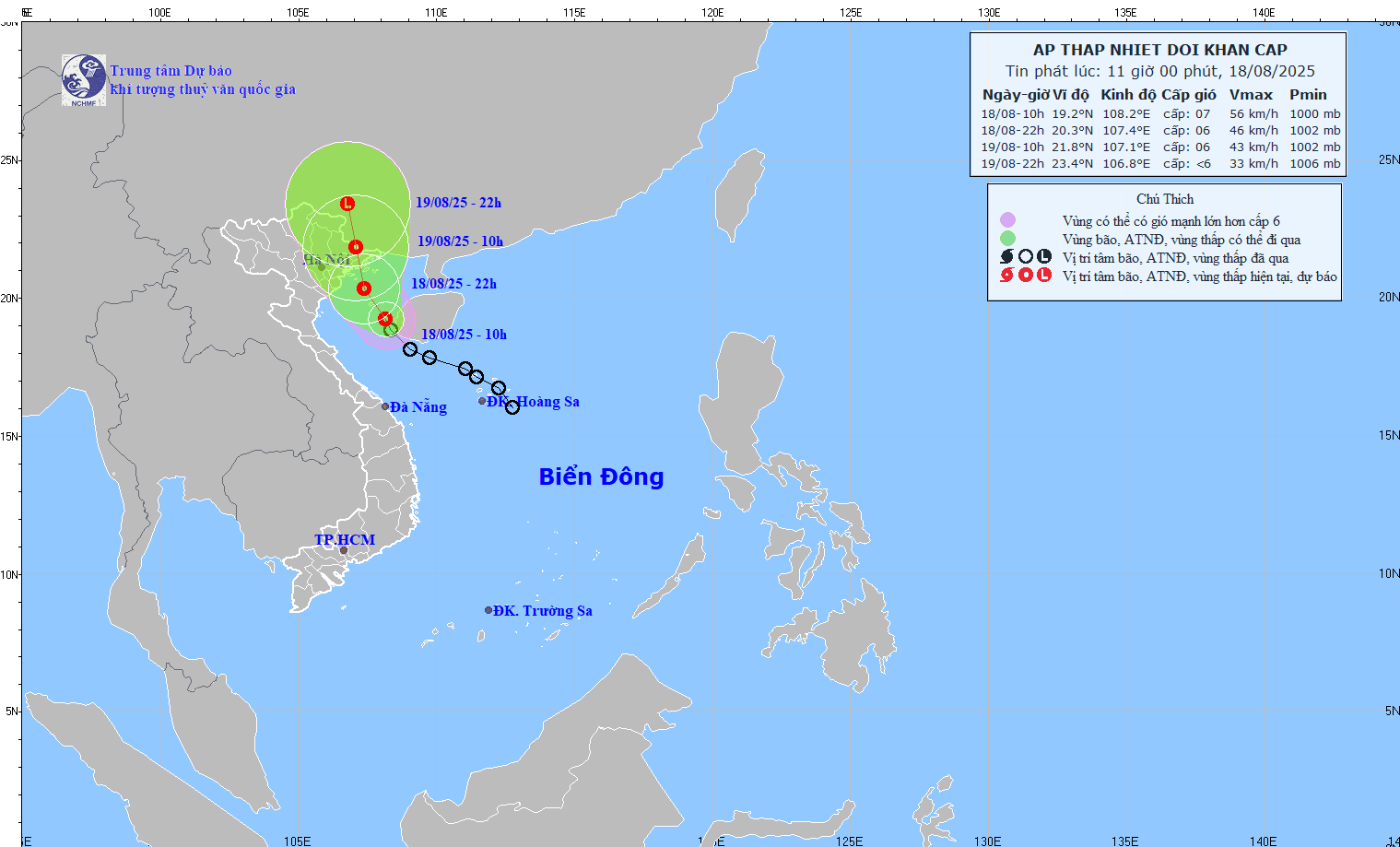
The tropical depression’s center was located at around 19.2 degrees North latitude and 108.2 degrees East longitude, about 115 km southeast of Bach Long Vi Island at 10 a.m. on August 18. Maximum sustained winds near the center reached levels 6–7, with gusts up to level 9. The system was moving northwest at a speed of 15 kph.
Over the next 36 hours, the tropical depression is forecast to continue moving northwest at 10–15 kph. Meteorologists predict it will make landfall in the Vietnam–China border area on the morning of August 19, with sustained winds at level 6 and gusts at level 8, before weakening into a low-pressure system over Guangxi (China) by the evening of August 19.
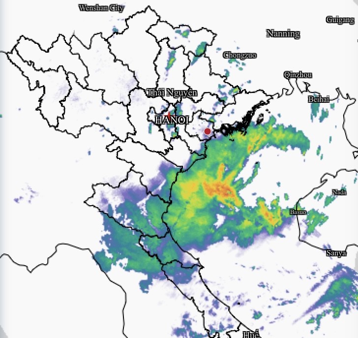
At sea, the Gulf of Tonkin is expected to experience winds of levels 6–7, gusting to level 9, with waves 2–3.5 meters high and rough seas. Vessels operating in the area face risks from thunderstorms, waterspouts, strong winds, and high waves.
On land, coastal areas from Quang Ninh to Hai Phong will see strong winds of level 6 with gusts up to level 8 from the afternoon of August 18.
Heavy rains are forecast from August 18 to the night of August 19 in the Northeastern region and Thanh Hoa, with rainfall of 50–150 mm, and localized areas exceeding 300 mm. Nghe An and Ha Tinh are also expected to receive moderate to heavy rains on August 18, with some areas recording over 150 mm.


