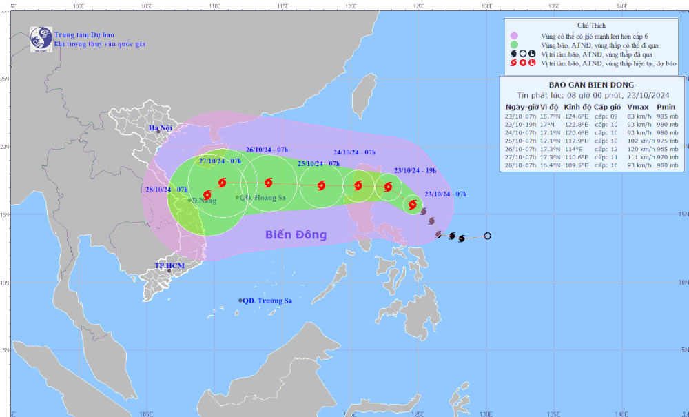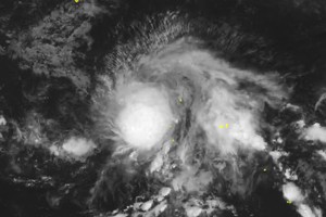
The National Center for Meteorological and Hydrological Forecasting has just provided the latest update of the storm which was located at around 15.2 degrees north latitude and 125.4 degrees east longitude in the eastern waters of the Philippines at 1 a.m. on October 23. Trami storm force winds gusts 89-102 kilometers per hour near the eye of the storm.
The tropical storm primarily moves northwest at an hourly speed of around 20 kilometers.
It is anticipated that Trami storm will move west at a speed of at least 15 kilometers per hour and continue upgrading its intensity within the next 24 hours.
As related to Trami storm, Deputy Minister of Agriculture and Rural Development Nguyen Hoang Hiep had issued an urgent dispatch on October 22 late requiring the Central coastal provinces and cities from Quang Ninh to Binh Thuan, along with relevant ministries and agencies, to proactively respond to this storm.
The Ministry of Agriculture and Rural Development requested the above-mentioned localities to closely monitor the storm's developments, manage vessels going out to sea, carry out inspections, and timely provide information to vessel owners and captains operating at sea about the storm's location, path, and development forecasts to proactively escape from dangerous areas.
Additionally, they must have plans and preparedness for rescue and relief operations.


