 |
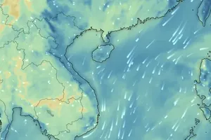
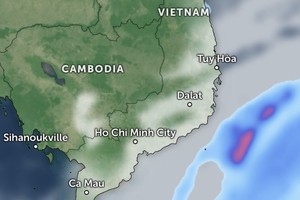
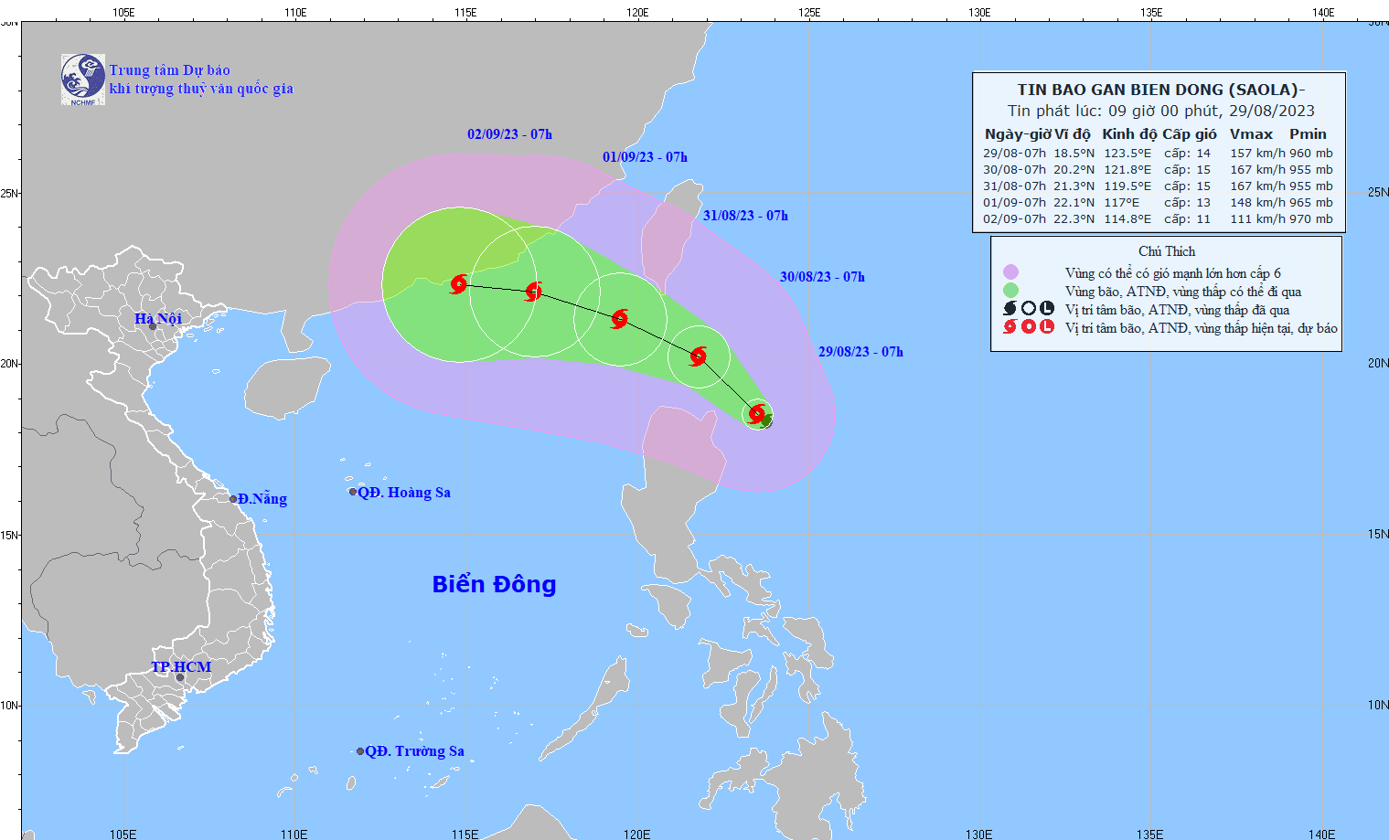
The path of storm Saola in the next several hours |
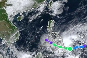
The National Center for Hydrology Meteorology Forecasting reported that the tropical storm is operating strongly in the northeast territorial waters of the Philippines’ Luzon Island.
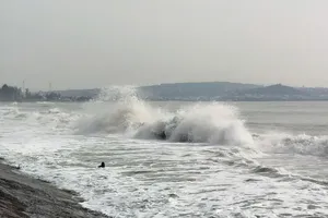
Particularly, as of 7 a.m. on August 29, the eye of Saola was at around 19.5 degrees north latitude and 123.5 degrees east longitude with a maximum speed of five kilometers an hour. The strongest wind in the area near the eye of the storm gusted at level 14 and level 17, moving at 134-220km per hour, triggering severely rough sea.
According to Director of the General Department of Meteorology and Hydrology under the Ministry of Natural Resources and Environment Tran Hong Thai, the tropical storm was named after the Saola whose scientific name is Pseudoryx Nghetinhens. It is one of the rarest animals in the world living in the Truong Son mountain range of Vietnam and mountains in Laos, discovered by scientists in 1992.
The Saola is listed as Critically Endangered on the International Union for Conservation of Nature (IUCN) Red List of Threatened Species and in the Red Book of Vietnam.
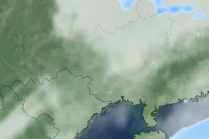
On the afternoon of August 29, the Standing Office of the National Steering Committee for Natural Disaster Prevention and Control sent a dispatch to ask the coastal provinces and cities from Quang Ninh to Ha Tinh, relevant ministries and departments to closely monitor the storm's development.
Besides, it is essential to timely notify vessels and fishermen at sea of the storm's path so that they can proactively move out of the dangerous zones.


