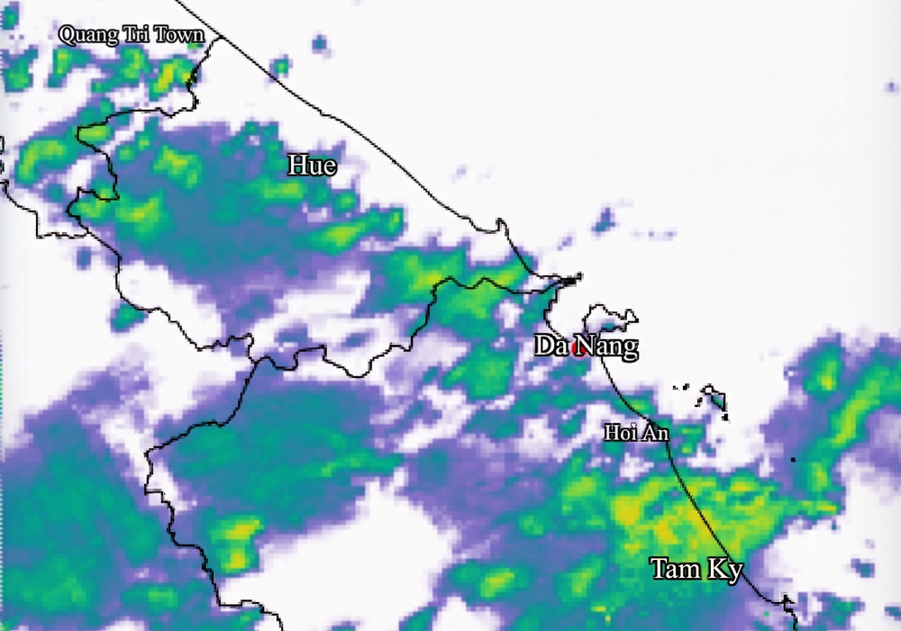
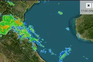
The National Center for Hydro-Meteorological Forecasting warned that moderate to heavy rain, with isolated areas experiencing torrential downpours, would affect the area from Quang Tri Province to Da Nang and the eastern parts of provinces from Quang Ngai to Dak Lak on October 13.
The region from Quang Tri to Da Nang had already experienced moderate to heavy rain, locally very heavy, overnight on October 12 and into the early morning of October 13. Rainfall recorded between 7 p.m. on October 12 and the morning of October 13 reached 94.8 millimeters in Le Thuy, Quang Tri Province, 93.6 millimeters in Huong Phu, Hue City, and 95.8 millimeters in Tr'hy, Da Nang.
From the morning through the evening of October 13, rainfall in the areas from Quang Tri to Da Nang and eastern Quang Ngai to Dak Lak is expected to range from 20 to 40 millimeters, with isolated totals exceeding 80 millimeters. Southern Vietnam and Lam Dong Province are forecast to receive 10 to 30 millimeters, with some locations recording more than 60 millimeters.
The Southern Regional Hydro-Meteorological Center also expects rainfall to increase across southern Vietnam and Lam Dong from October 13 to 17 as an upper-level easterly wind disturbance strengthens.
Rainfall had eased slightly over the preceding two to three days, with showers affecting fewer areas and heavy downpours occurring mainly in isolated locations. However, the strengthening weather disturbance is expected to promote the development of convective clouds, bringing renewed rain, particularly in the afternoon and evening. Some areas could experience moderate to heavy rainfall or isolated torrential downpours, while nighttime showers are also possible on certain days.
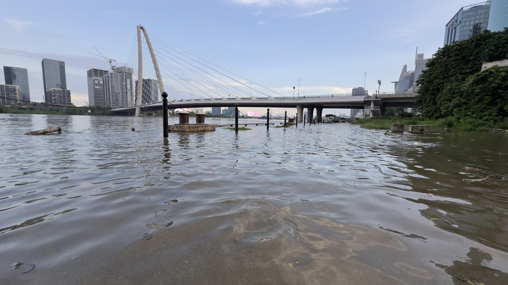
Although tides in Ho Chi Minh City and along the southern coast are beginning to recede, peak levels are still expected to remain around or above level 3, the highest warning threshold on Vietnam's three-level tidal alert system. The overlap between renewed rainfall and the high-tide period is raising concerns about flooding in riverside neighborhoods, areas along canals, and other low-lying locations.
The rainy spell could continue until around October 20-21. Conditions are expected to improve afterward as the northeast monsoon becomes more active and the upper-level easterly wind disturbance weakens.
Meanwhile, the national forecasting center warned of unsettled conditions at sea on October 13. Scattered showers and thunderstorms are forecast in waters from southern Quang Tri to Ca Mau, from Ca Mau to An Giang, in the Gulf of Thailand and across the central East Sea.
Thunderstorms could generate waterspouts, strong gusts reaching levels 7-8, and waves exceeding two meters. Vessels operating in these waters face potential hazards from waterspouts and powerful wind gusts.












)








