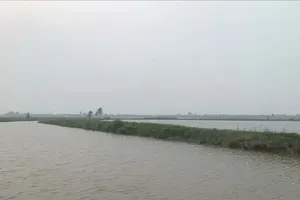
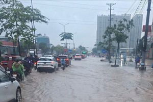
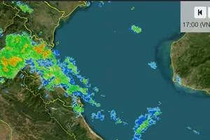
The weather agency attributed the persistent rainfall in recent days to the intertropical convergence zone, which has been active over the South Central and Southern regions.
Widespread rain and heavy downpours have occurred across the region, with generally cloudy conditions and only brief periods of weak sunshine during the day.
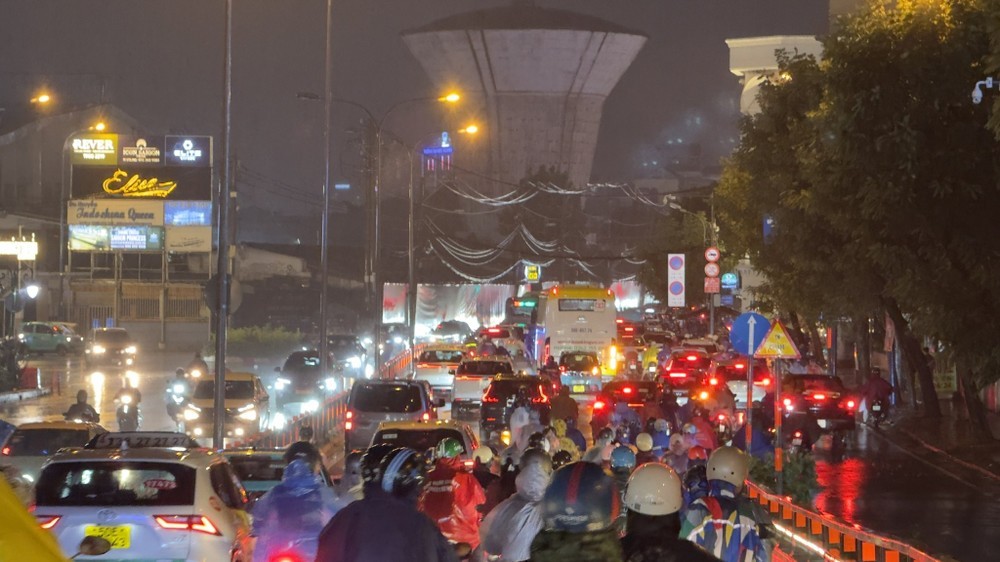
From this afternoon through tonight, widespread rain is forecast across southern Vietnam and Ho Chi Minh City, with moderate rainfall and locally heavy to torrential downpours. Thunderstorms may bring tornadoes, lightning and strong wind gusts. Scattered showers could persist across the region overnight.
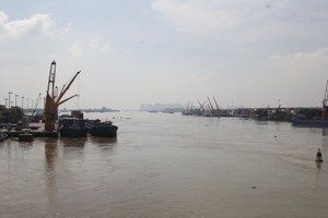
At the same time, water levels in rivers and canals are expected to continue rising under the influence of the early ninth lunar-month high-tide cycle.
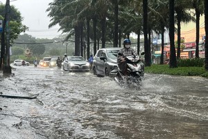
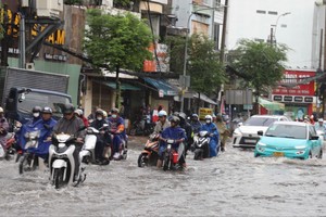
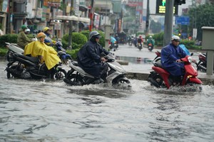
Tidal peaks are forecast twice a day, in the early morning and evening. The evening high tide is expected to coincide with periods of heavier rainfall, increasing the risk of flooding in low-lying areas and along rivers and canals.
The highest tides are forecast between October 10 and 12. In Ho Chi Minh City, water levels could rise 0.1 to 0.17 meters above alert level 3, raising concerns over urban flooding, particularly in low-lying and riverside areas.





)