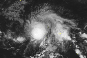
International meteorological sentinels signal the genesis of storm Ragasa from tropical depression 24W on the evening of September 18 (Vietnam time).
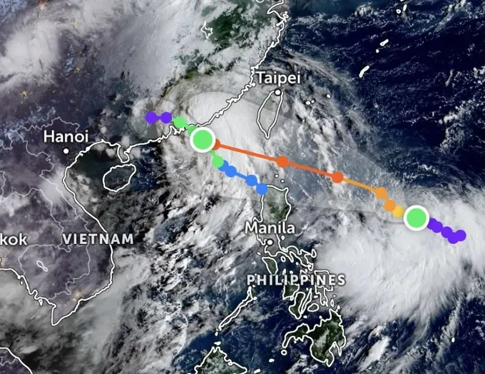
The name Ragasa, nominated by the Philippines, signifies "swiftness". This is the 18th storm formed in the Northwest Pacific since the beginning of 2025 and the fourth in September alone.
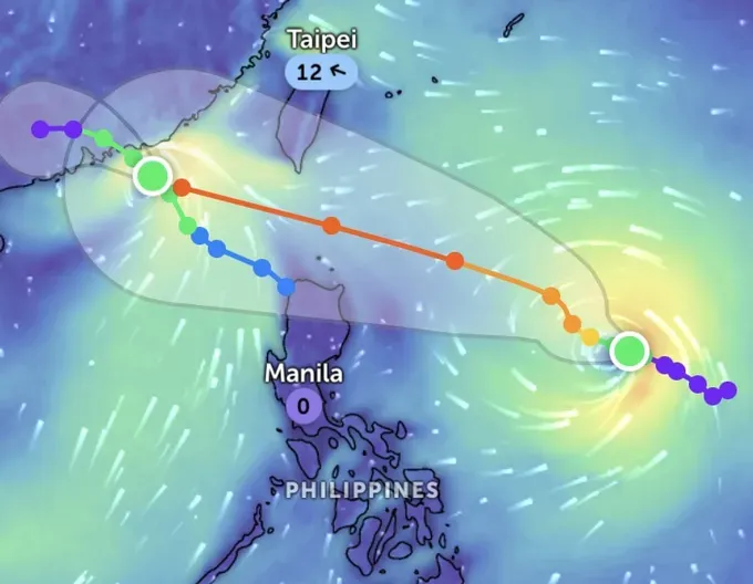
The U.S. Joint Typhoon Warning Center (JTWC) forecasts a rapid intensification of Ragasa over this weekend from September 20 to September 22, potentially ascending to category 4 or 5 super typhoon as it invades the East Sea through the energy-rich waters east of Luzon (the Philippines).
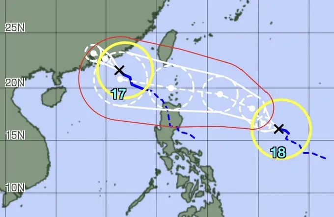
The Japan's Meteorological Agency (JMA) formally recognized Ragasa as an international tropical storm and issued a five-day forecast track.
Concurrently, the U.S. National Oceanic and Atmospheric Administration (NOAA) models forecast Ragasa's trajectory toward the eastern Philippines before pivoting towards the East Sea.
On social media, some meteorologists forecast that Ragasa could become the ninth storm in the East Sea by September 23. The European Center for Medium-Range Weather Forecasts (ECMWF) long-term model anticipates that the storm will cross China's Leizhou Peninsula and then impact Vietnam's North-Central and Red River Delta regions, including provinces from Thanh Hoa to Ninh Binh.
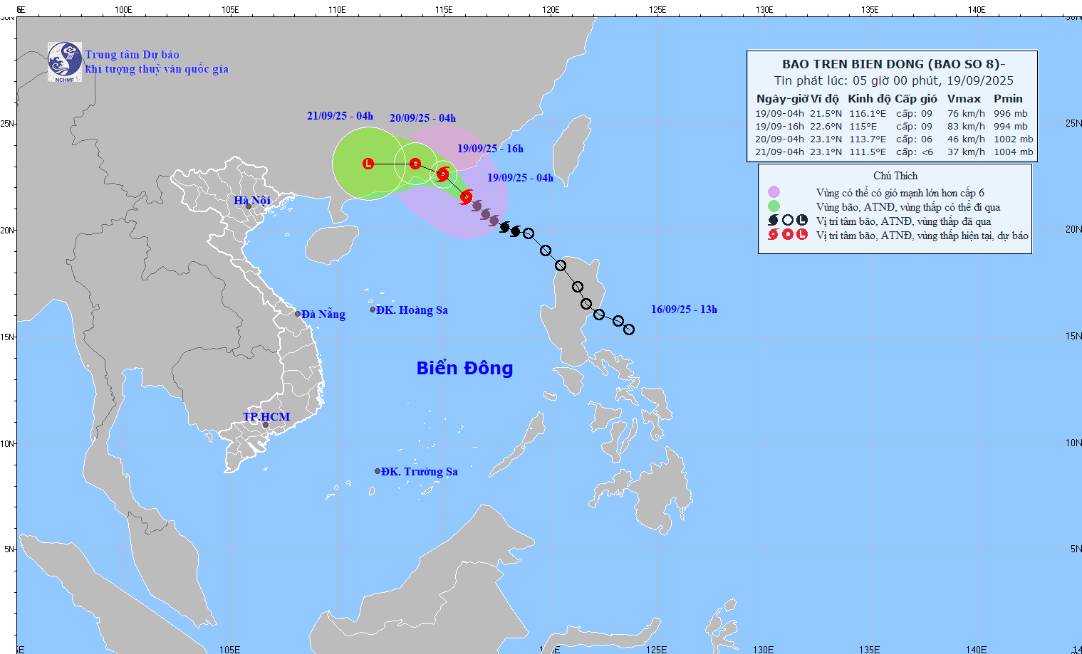
Earlier, on September 18, Mr. Nguyen Van Huong, Head of the Weather Forecasting Office of the National Center for Hydro-Meteorological Forecasting, provided initial information about the storm. He emphasized the system's direct landfall threat to Vietnam, promising robust winds and deluges across the Northern region and areas from Thanh Hoa to Hue.
Residents in the Northern and Central coastal provinces are urged to closely follow updates from Vietnam’s meteorological agencies as well as international sources such as JTWC, JMA and NOAA, to prepare timely response measures.

