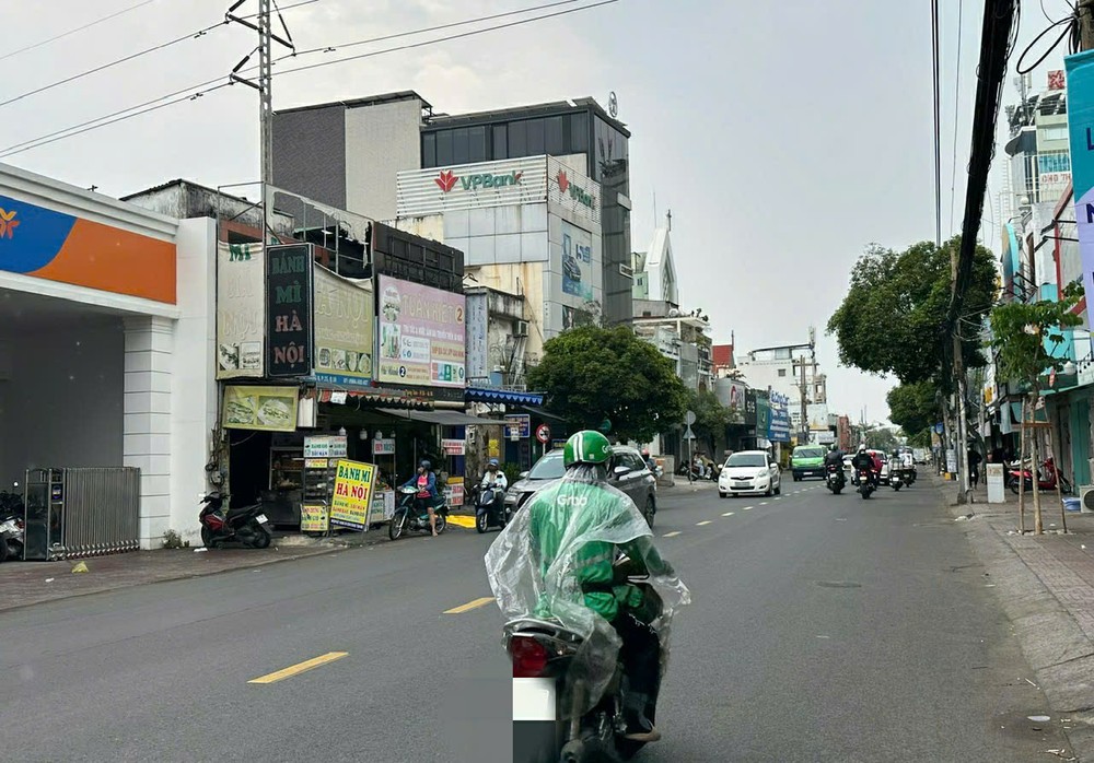
Mr. Le Dinh Quyet, Head of the Forecast Department at the Southern Regional Hydrometeorological Center, on April 1, reported that the weather will be partly cloudy to mostly cloudy with intermittent sunshine on April 2. Off-season rains are expected to increase compared to the past 24 hours, with some areas experiencing moderate rain, localized heavy rain, and thunderstorms.
Thunderstorms may bring lightning, strong winds, and whirlwinds. The lowest temperature will range from 23-26 degrees Celsius, with some areas in the northern part of the Southeastern region dipping below 23 degrees Celsius, and the highest temperature will range from 30-33 degrees Celsius, with some areas exceeding 33 degrees Celsius.
In the Southeastern region, the highest temperature will range from 29-34.5 degrees Celsius, with the lowest ranging from 23.4-26.5 degrees Celsius. In the Mekong Delta region, the highest temperature will range from 29.5-33.6 degrees Celsius, with the lowest ranging from 25.5-27.5 degrees Celsius. In Ho Chi Minh City, the weather will be partly cloudy with sunshine during the day and showers in the evening in some areas.
According to the Southern Regional Hydrometeorological Center, the weather forecast from April 2 to 7 predicts that the cold continental high-pressure system will continue moving eastward and weakening, forming a low-pressure trough around 25-27 degrees North, which will be connected to a hot low-pressure area in the West that will develop and extend southeastward. In the upper atmosphere, the subtropical high-pressure system over Central Coastal Region will remain stable.
The weather in the Southern region will have partly cloudy to mostly cloudy skies, with off-season rains gradually decreasing from April 3 onwards. In the evening and at night, there will be light showers and thunderstorms in some areas, with localized heavy rain. During thunderstorms, strong winds, lightning, and whirlwinds should be expected. For the remaining days, hot weather will likely return.
The National Center for Hydro-Meteorological Forecasting has warned that in April 2025, many areas nationwide will experience intense heat and potential droughts. The average temperature across the country is expected to be higher than usual, with temperatures rising by 0.5-1 degrees Celsius in the Central, Central Highlands, and Southern regions, while the Northern region may see temperatures close to or slightly lower than average.
Rainfall is forecast to be below average, but some areas, including the Northern mountainous region, South Central Highlands, and the Southeastern region, may see higher rainfall. Cold air will be stronger than usual in the first ten days of April, but heat will increase from mid-month, particularly in the Northwestern and Central regions. The Southeast region will continue to endure widespread heat, with rising temperatures in the Central Highlands and the Southwest.
April’s transitional weather may bring thunderstorms, lightning, and hail. The public is advised to stay updated on weather forecasts and take precautions against heat-related health risks and potential droughts affecting agriculture and water supply.


)


