 |
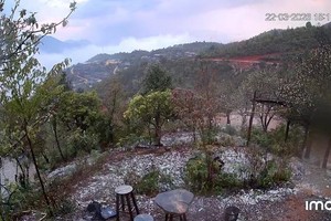
Illustrative photo |
The National Center for Hydrology Meteorology Forecasting reported that throughout Thursday, August 31, thundery rains have covered the mid-Central, south-Central, Central Highlands and Southeastern regions, forecast to last in the next several days.
According to the latest news from the weather agency, the eye of Saola was located around 450 kilometers east- southeast far from Hong Kong (China) with maximum sustained winds of 167-201 kilometers an hour at 4 a.m. on August 31.
From the next 72 hours to 120 hours, the tropical storm is forecast to move west-southwest with a speed of five to ten kilometers an hour and have the potential for downgrading gradually.
People are warned of the risk of flash floods, landslides in mountainous areas and flooding in low-lying areas along with the potential for damaging winds, hails, cyclones and lightning.


)


