Cold air and northeast winds bring scattered showers, thunderstorms, and rising water levels to the Southern region.
According to the Southern Regional Hydro-Meteorological Station, a strong cold front is extending southward and will continue to strengthen from January 5 to 6. Northeast winds are blowing at moderate to strong levels over the southeastern coastal waters.
At higher altitudes, a weak subtropical high-pressure ridge lies across Southern Vietnam, while upper-level easterly disturbances are becoming more active, influencing the region from January 5 to 7. As a result, Ho Chi Minh City is expected to experience localized rain and thunderstorms in the late afternoon and evening over the next few days.
The station also issued a tidal forecast for the Saigon River at the start of January 2026. At 7 a.m. on January 5, the highest measured tide levels reached 1.58 meters at Nha Be Station in the Dong Dien River and 1.59 meters at Phu An Station in the Saigon River, both near the third warning level. At Thu Dau Mot Station in the Saigon River, the water level peaked at 1.74 meters, 0.14 meters above the third warning threshold.
Water levels on the Saigon River are expected to change slowly on January 5 before receding quickly. Peak tides at Phu An and Nha Be are forecast to remain above the second warning level through January 6, while high tides at Thu Dau Mot will persist until January 7.
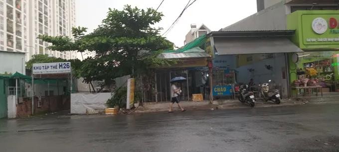
Authorities have advised residents to remain vigilant as strong northeast winds combined with high tides may cause flooding in low-lying areas and riverside areas, disrupting transportation and daily economic activities across Ho Chi Minh City.